Showing posts with label Holy Island. Show all posts

Friday, May 28, 2010

A crusade by sea kayak to the Holy Island


A 20km paddle from Brodick on Arran round Holy Island, March 2010.

The north going flood tide enters Lamlash Bay by the South channel and exits by the North Channel the south going ebb tide runs in the reverse direction.

N going flood +0605 HW Greenock -0500 HW Dover, 1knt springs S channel 0.75knt N channel
S going ebb +0040 HW Greenock +0200 HW Dover, 1.5 knt springs S channel 1 knt N channel

Lamlash tidal constant -0025 Greenock +0050 Dover


Destination Holy Island!


The mountains of Arran

No egos at Portencross!

Seeking shelter in Brodick Bay.

Egalitarian cruising on the Clyde

Little and Large in Lamlash Bay.

Do Holy Island monks think they are above the Law of Scotland?

The west coast of Holy Island, Arran

The Inner (and Outer) Light of Holy Island

Tony hangs up his hat on Holy Island

End of a Crusade to Holy Island


Photo album map

Sunday, May 23, 2010

End of a Crusade to Holy Island


We left the shady beach on the east coast of Holy Island and paddled towards the north and the sunlight slopes beyond.


Crossing the north entrance to Lamlash Bay we took one last look back at the distinctive outline of Holy Island, the subject of our recent crusade.


Passing low Hamilton Isle, we made our way to the...


...tumbling slopes of Clauchlands Point round which,


Arran's snow covered peaks came into view one after the other.


Reluctant for our paddle to come to an end, we loitered in Brodick Bay as long as we could, as our ferry, the MV Caledonian Isles, steadily increased in size on the eastern horizon.


All too soon our time on the water was coming to an end. None of us knew it then, but this would be the last time that Tony and the second last time that Phil and I would paddle with our good friend Jim.

Wednesday, May 19, 2010

Tony hangs up his hat on Holy Island


We left the sunshine as we paddled north up the east side of Holy Island...


...and entered the shade under the steep slopes of Mullach Mor (314m). In the distance the snow covered slopes of Goatfell were still in full sun.


We stopped at a remote, stony beach to stretch our legs and enjoy a quick (it was cold) bite to eat. Tony and Jim looked out over the Firth of Clyde to the barely visible Ayrshire coast beyond.


All round the top of the beach there was the sadly all too common plastic tat of flotsam and jetsam etc. Always with an eye for the camera, Tony modelled a fetching helmet in an attractive shade of sky blue.


The monks had erected this tasteful plastic post, adorned with a goodwill message in four languages. Tony was impressed by its simple message.

Tuesday, May 18, 2010

The Inner (and Outer) Light of Holy Island


At the SW corner of Holy Island we came to the Inner Light. No it is not some higher plane of enlightenment merely a NLB lighthouse.


We then rounded the southernmost point of Holy Island only to discover...


...another lighthouse which is named, with a great deal of logic, the Outer Light. Perhaps, to continue the Harrison analogy, a case of within you, without you.

Why might you ask should Holy Island be blessed by illumination by two lighthouses so close together? Perhaps it is because Lamlash Bay is one of the great natural harbours of the World. Although it is not bordered by any great centre of population, it provided shelter for ships of the Royal Navy in both World Wars and as a relay point for convoys. Somewhat before the construction of the lighthouses, King Hakon IV of Norway gathered his fleet of Viking long boats here before his defeat at the Battle of Largs in 1263.

Monday, May 17, 2010

Cloven hooves on Holy Island


Under an overhanging cliff on the west side of Holy Island, we spotted a cave.


It is the cave of St Molaise who established a Christian retreat here in the seventh century and lived in this cave for ten years. Over the years a number of species have been introduced to the island. These Soay sheep and Saanen goats have taken possession of the cave and St Molaise would not find it a very pleasant place now.


Eriskay ponies are another of the introduced species and one of my friends was warned by a monk that the ponies are savage and aggressive. In fact they are very calm and docile animals.


The steep sides of the island tumble straight into the sea in a boulder field but there is actually a lovely grassy path that winds its way in and out of the rocks above the beach.


The monks have painted colourful images on some of the boulders by the path.

Sunday, May 16, 2010

The west coast of Holy Island, Arran


After second breakfast, we proceeded down the west side of Holy Island. Although the monks would rather you did not camp, they are quite happy for you to stay in their hotel. This is the original farmhouse, which has been rather tastefully restored and extended. Rooms, single and double, are available from £55 to £75 and that even includes some vegetarian meals.


Jim was very pleased with his new P&H Quest, he loved the white deck, which matched his paddles!


Tony looked back over Lamlash Bay and the village of Lamlash to the snow flecked cliffs of Beinn Nuis 792m, and Beinn Tarsuinn 826m.


Rounding the shallows off White Point, the south end of Holy Island stretched away to the Inner Light in the distance.

Saturday, May 15, 2010

Do Holy Island monks think they are above the Law of Scotland?


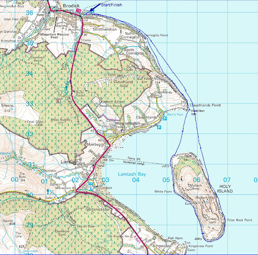
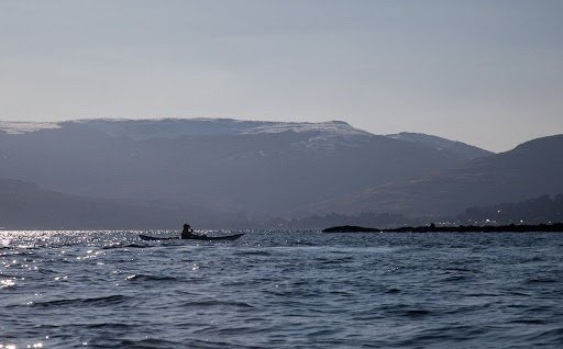
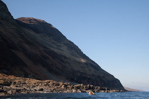
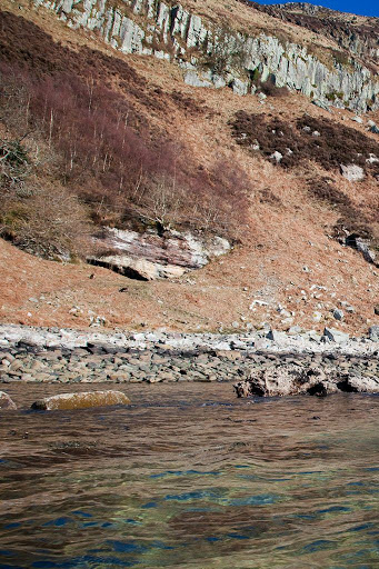
Well the Calmac bacon and sausage rolls had barely settled before it was time for second breakfast. We decided to land at the 
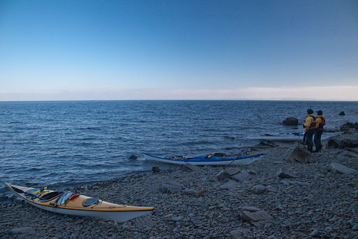
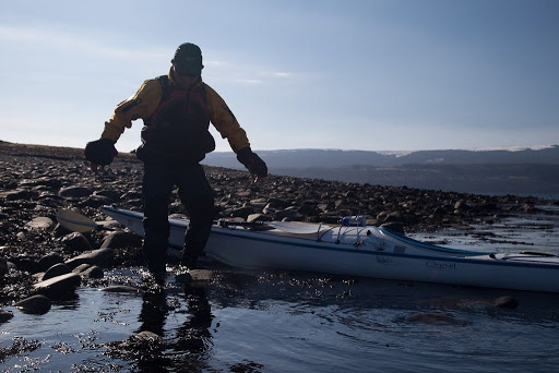
north end of Holy Island. Unfortunately it was low tide and there were innumerable slippy boulders to negotiate. No sooner had he got out his kayak than Jim made his way over to assist me. He helped me to the top of the beach while Tony and Phil carried my kayak.


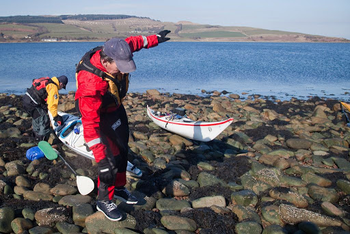
My knee nearly dislocated again as I winced, just watching Phil try to negotiate his way up the slippy beach!


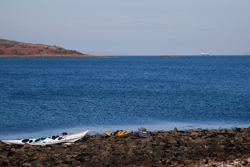
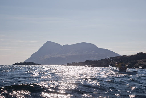
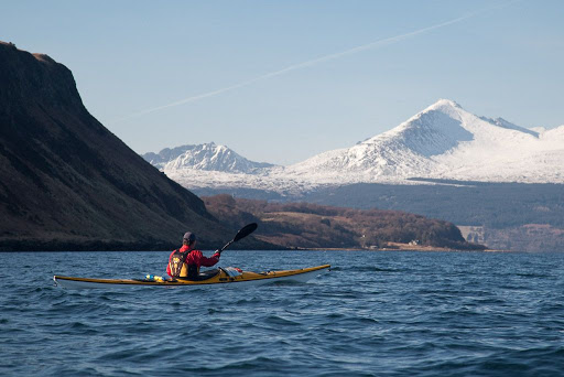
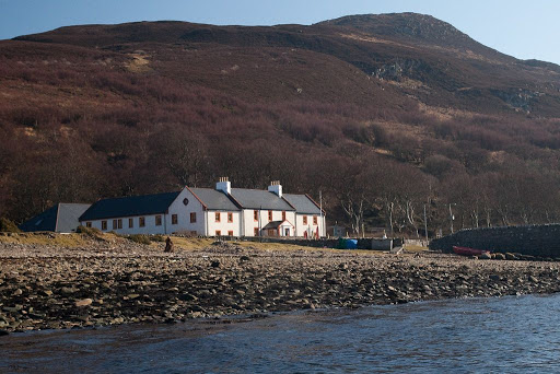
Soon we were sitting enjoying second breakfast and a wonderful view over Lamlash Bay as the MV Caledonian Isles made her second approach to Arran of the day.


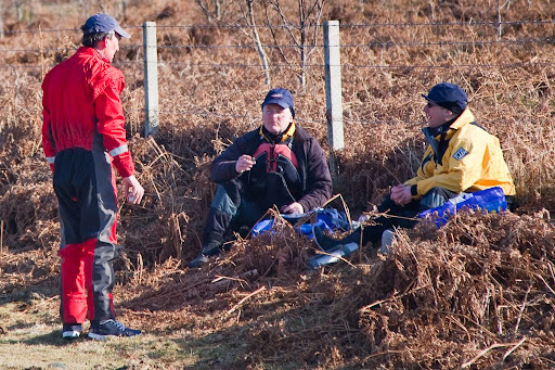
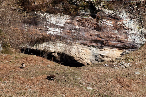
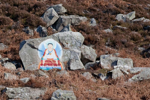
Then Phil went for a stroll but soon returned in a rather agitated state. "Come and see what I have found!"


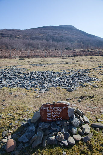
Just a short way along the beach, Phil showed us this. Right on an ideal spot for wild camping, which is a legal activity under the Land Reform (Scotland) Act 2003, the monks have built a little cairn round this illegal sign.

If you wish to camp here, do not be intimidated by these Buddhist monks, who have an excessive attachment to the land and a disregard for Scottish law. This is a perfectly legal place to exercise your right to responsible wild camping. If this possession of and attachment to the land is typical of Buddhist behaviour, then it is easy to understand why Mao Tse-Tung was so hostile towards the religion.

Scottish history has many landlords who have enjoyed possession of the land. Well it looks like the monks of Holy Island are on their way joining the company of Elizabeth, 19th Countess of Sutherland et al. Fortunately for the monks, Scotland is a democratic and law abiding country, which has not undergone a People's Revolution.

Friday, May 14, 2010

Little and Large in Lamlash Bay.


Jim, Tony, Phil and myself left the shelter of Brodick Bay at Corriegills Point where we met a fresh offshore wind.


It was exhilarating paddling in the sunshine, under blue skies and snow capped mountains.


Nearing Clauchlands Point, our destination, Holy Island came into view. It lies in the middle of Arran's Lamlash Bay


Despite its size, Arran only has three satellite islands. Holy Island is the largest and the highest, next is Pladda off the south coast and the smallest is little Hamilton Isle, seen here just off Clauchlands Point. It is completely dwarfed by its larger neighbour, a case of Little and Large in Lamlash Bay.

Sunday, March 07, 2010

An excessive attachment to the land.


Today we enjoyed a fantastic trip to Holy Island off the east coast of Arran.


Holy Island is an ancient Christian site (St Molaise) but is currently owned by Buddhist monks. Although the "No Landing" signs have been removed (after a complaint by us to the Ayrshire and Arran Access Officer) this new sign has appeared. The monks clearly have little concept of the Land Reform (Scotland) Act. We resisted the temptation to burn the sign but will write again to the Access Officer.

Tuesday, December 29, 2009

A chill wind on the Clyde


WE had decided to paddle anticlockwise round the Cumbraes to take advantage of the ebb tide and NNW wind which would help our progress down the west coast of both islands. In the distance we could see a tanker waiting at the south end of the Clyde channel to pick up a pilot from the Clyde pilot boat the MV Mount Stewart.


Rounding Skate Point at the NW end of Great Cumbrae, it was a relief to get the wind behind us.


With Bute and Arran in the background, the tanker proved to be the Nuuk Maersk, a small product tanker of 144m x23m and 16,600DWT. She was built in 2007. She was en route to the the oil storage facility at Finnart some 46km further up the Clyde estuary on the banks of the fjord like Loch Long.


The west coasts of Great and Little Cumbrae stretched away to Holy Island and Arran in the distance. There are a series of raised beaches and the distant Little Cumbrae lighthouse is built on one of them.


Even with the wind behind us, there was considerable windchill and we used hoods as well as thermal hats and pogies for our hands. We began to wonder what had happened to the forecast sunshine and light winds.

Thursday, December 10, 2009

A Convivial Croy luncheon


We landed on Croy Bay, below its eponymous Electric Brae.


We enjoyed an uninterupted view to distant Ailsa Craig.


Before tucking into...


... a convivial luncheon with friends.


The distant hills of Holy Island and Arran seemed very close in the calm conditions as we recounted previous crossings to the islands, each stormier than the last!.

Thursday, December 03, 2009

Approach to Sannox


As we approached Arran, we paddled under the layer of cloud...


...that was swirling round the mountains of Glen Sannox. We made a good speed of 9km/hr with tidal assistance on the crossing.


Once we were out of the sunshine, the temperature dropped quickly. Away to the south, the steep slopes of Holy Island were silhouetted against the distant sunshine further down the Firth of Clyde. We would soon set foot on the sands of Sannox.