Wednesday, March 31, 2010

The Loch Spelve welcoming committee.


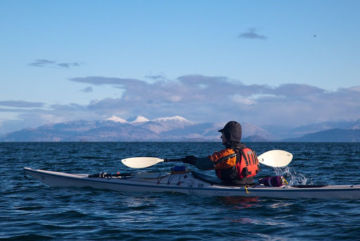
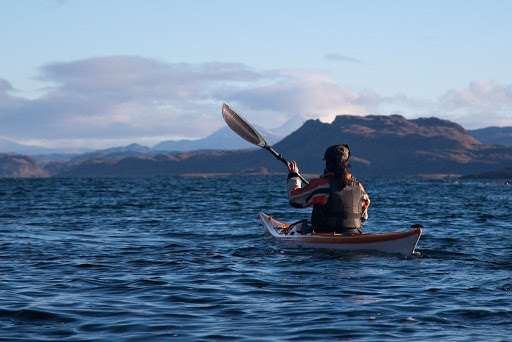
After our refreshments, we paddled the short distance to the narrow entrance to Loch Spelve. It was 11.18 and slack water was at 11.45. There was hardly a ripple in the channel and we proceeded unhindered by the tide.

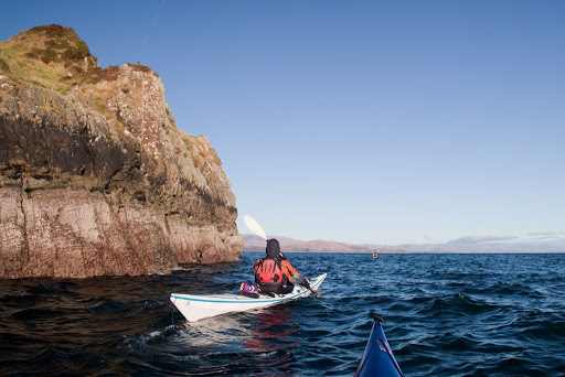
Tidal streams at Loch Spelve entrance run at 3.5-4 knots springs with strong eddies and overfalls.
Ingoing -0530 HW Oban
Outgoing +0015 HW Oban


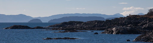
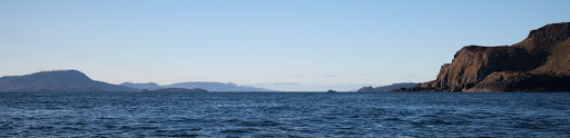
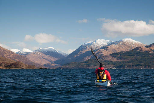
As we proceeded through the confines of the entrance, a fantastic vista of sky, mountain and loch opened beyond.


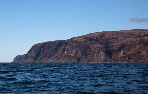
We passed evidence of abandoned settlements everywhere. The view was dominated by the steep slopes of Creach Beinn, 698m, behind which, we had watched the sun setting only 3 days before.


No sooner had we entered Loch Spelve than the welcoming committee swam out to greet us. Although the human inhabitants had long gone...


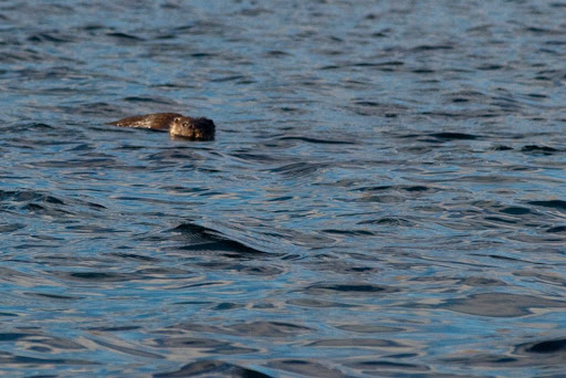
...this fine fellow of an otter swam right up to us, bold as brass! Jim was ever so pleased, he had not seen an otter before.

Tuesday, March 30, 2010

A Lorn view at luncheon


From our luncheon viewpoint on Port nan Crullach on Mull we had a wonderful prospect across the Firth of Lorn to the island of Kererra and the snow capped peaks of Ben Cruachan (1126m) beyond.


The bulk carrier MV Jomi was making her way up to Corpach near Fort William. She was built in 1991 and is 88.2m by 13.6m with a gross tonnage of 2827.


We were aware that we would need to keep a very close eye open for ships on our return crossing, which would be in the dark.


The rocks at the back of the beach were an ideal luncheon spot for soaking up what little warmth came from the weak winter sun.


Away to the SSW the dark ridges of the Garvellachs were backed by the long island of Jura. You can just see two of the Paps of Jura on the right horizon.

What a great view from a lunch spot!

Monday, March 29, 2010

Dark volcanic sands of Mull.


From Insh we proceeded across the Firth of Lorn...


...towards the rocky escarpments of the Laggan Deer Forest on the volcanic island of Mull.


At the NE end of the peninsula we landed on...


...the beach of Port nan Crullach.


The dark volcanic sands were free of footprints.

Sunday, March 28, 2010

Google maps, short by an Insh!


Back in early February, we found ourselves all ready for another adventure. After an early start, we were ready to launch at 0915 from Ellenabeich on the island of Seil in the Firth of Lorn.


We had in mind a bold route for a short winter's day. It would take us 44km across to the island of Mull into Loch Spelvie, portage into fresh water Loch Uisg then portage into Loch Buie. The final 24km leg would be done without landing and would involve crossing the Firth of Lorn at night with an ebb tide to contend with.


We chose to launch from the Easdale ferry slipway because of my bad knee. Normally we launch down a rocky beach from the large car park to the north of here. You do need to be quick to keep out of the way of the ferry as it only takes a few minutes to cross back and forwards.


We were bound first of all for the north end of the rocky little island of Insh. Sadly neither Insh nor the neighbouring Garvellachs and Slate Islands seem to be important enough to be shown on the otherwise excellent Google maps!!


Looking to the south west there was a wonderful prospect down the Sound of Insh. The bold outline of Scarba with the Slate Islands in front, then more distant Jura. Nearer at hand the Garvellachs with distant Islay behind then finally the steep eastern slopes of Insh.


As we approached Insh the ebb tide became stronger and we rested for a while in a kelp bed behind a shallow reef...


...before a final sprint, under the distant mountains of Argyll...


...took us to the rugged red rocks of Insh.

Google Maps really don't know what they are missing!

Saturday, March 27, 2010

Sea kayaking Loch Creran, Firth of Lorn


A 33km paddle from Port Appin to the head of Loch Creran and back, Feruary 2010.

Tidal streams at NE end of Lynn of Lorn run at 2 knots springs
NE going +0600 HW Oban
SW going -0015 HW Oban

Tidal streams at Loch Creran entrance run at 3-4 knots springs
Ingoing +0600 HW Oban
Outgoing -0030 HW Oban

Tidal streams at Creagan narrows run at 5 knots springs
Ingoing -0520 HW oban
Outgoing +0025 HW Oban overfalls extend for 0.8km into the outer loch.


Paddling NE towards Bein Sgulaird.


Sunset over the distant mountains of Mull.

Little and large on the road north to Appin

The hidden entrance to Loch Creran

Loud, discordant, half naked and very hairy Celts in Loch Creran!

A shilling a whole horse, in Loch Creran

On edge in Loch Creran, a satisfying gurgle from the stern.

Bold kayakers out run speeding glacier!

No food at the inn!

End of day in Loch Creran

After sunset in the Lynn of Lorn.


Photo album map.

After sunset in the Lynn of Lorn.


The ebb tide carried us out of Loch Creran and into the Lynn of Lorn.


It was half an hour past sunset and the light was fading fast as the bubbling tide carried us by the pole marking Dearg Sgeir.


The air was so clear that we could see all the way down the Firth of Lorn past the distant mountains of Mull...


...but we now turned our bows to the NE. Only a few scattered lights on Lismore and the snowy summits of Morvern resisted the relentless approach of the darkness of the night.


The snowy summit of Ben Cruachan glowed softly in the night, beyond the wooded slopes of Clach Tholl, a former sea stack.


Ahead, the lights at the pier head at Port Appin told us that we would soon have finished another superb paddle.