Showing posts with label tide races. Show all posts

Tuesday, April 26, 2016

A traverse of the Corryvreckan: "Beware of the flood in a sudden calm preceded by several days of strong west winds."

Slack water after the Corryvreckan flood was at 16:10 on 19/04/2017. To give ourselves time to get to the west end of the Corryvreckan where the incoming swell would meet the flood tide we set off from Port nam Furm at 15:24.

As we rounded the headland at the north end of Jura we came across the Sea Leopard II tour boat from Craignish Cruises.  Her alert skipper immediately throttled back to reduce her wake. This was very appreciated as wake combines with the Corryvreckan currents to produce very irregular waves. Several times in the Corryvreckan I have had to battle against such wake waves from thrill seeking power boats. To be fair I have never met anything but courtesy from the professional tour boats. Anyway after a big wave of thanks to the Sea Leopard II we set on our way.

Ahead, our eyes were now drawn to the open sea. I was quite glad that neither Ian nor Mike seemed to notice the large standing waves to our right which were forming over the pinnacle in the fairway of the Corryvreckan where the whirlpool forms.

It had been very windy from the west until the early hours of the morning, so we approached the west end with some trepidation. The pilot books warn: "Beware of the flood in a sudden calm preceded by several days of strong west winds. On the last of the flood an overfall can form as the tide meets the swell and form a solid wall of water across the Gulf." However, all was calm as we made our way through the narrowest part of the Gulf but...

 ...as we caught sight of the first of the islands on the south shore, we met the first of a series of large large swells that were marching in against the outgoing tide.

At this point the flood tide was still running west at 6km/hour though out beyond the islands it appeared to be approaching slack water.

 We were approaching the gap between Aird Bhreacain and Buige rock (just to the NW of the 68 on the map) and where the water is shallower when all of a...

...breaking standing wave reared up right across the channel. The tide was carrying me towards it at 6km/hour and there was no way round so I just dug my paddles in to pick up some momentum. I got a face full of water but I was safely through. As I was then left trying to clear my flooded sinuses I have no idea whether the others had to face the same. It was now 16:08 just about bang on slack and we had got through the Corryvreckan! However, the tide had now turned and was now trying to push us back into the Corryvreckan. I had set a destination waypoint on my GPS and the velocity made good fell until it was reading -1.6km per hour. Time for a sharp exit!

George Orwell nearly came to grief here in 1947 with his son, nephew and niece when his motor dinghy got swamped. Fortunately the tide carried them onto Eilean Mor where they scrambled up the rocks. Some hours later a passing fishing boat  plucked them to safety.

 After 2.5km of somewhat strenuous paddling we arrived in the shelter of Bagh Uamh nan Giall. We had made it through the Corryvreckan. I have traversed the Corryvreckan many times E-W W-E on both the north and south shores, NW-SE, SW-NE and straight through the middle. I have no doubt that exiting the SW corner is the most committing though in 2008 Tony and I had a somewhat thrilling entrance, W-E on the north shore while the west going flood was still in full pelt.

On that occasion we took advantage of an east going eddy that runs along the Scarba shore on the flood. This eddy then swings out from the shore into the vortex that forms the whirlpool! Your breaking out skills need to be pretty sharp to avoid ending up in the whirlpool!

I have written extensively on the geography, history, mythology, and route planning of the Corryvreckan in previous posts which you can read here.


Friday, November 20, 2015

The Little Ross "tide race" was like a stroll in the park!

After our superb luncheon it was time to return to the bank of the Dee where the ebb tide was already running. We were not the only ones heading for the sea. B449, FV Mytilus from Belfast had already embarked from Kirkcudbright quay.

Once on the water it was apparent that the morning's wind (which we had battled against) had dropped...

 ...now we were going its way. However, we did have tidal assistance and it was not too long until we...

 ...passed St Mary's Isle and caught sight of...

 ...Little Ross Island again.

 The weather was really quite exceptional for October in Scotland.

 The Dundrennan Range was still firing so we kept well over to the west shore of the bay.

 Ian called the Range boat the MV Gallovidian III on the VHF to confirm our route.

In the Solway bays trees often descend right to the shore giving the impression that you are paddling in...

 ...a pond in a park but appearances can be deceptive as the open sea and 4 knot tides...

 ...are just round the corner.

As we approached the mouth of Kirkcudbright Bay the wind picked up again but not one of the Robin Rigg wind turbines was turning. I wonder why...?

We entered The Sound at 8km/hr without paddling but there was no sign of any tidal action and so we decided to stop...

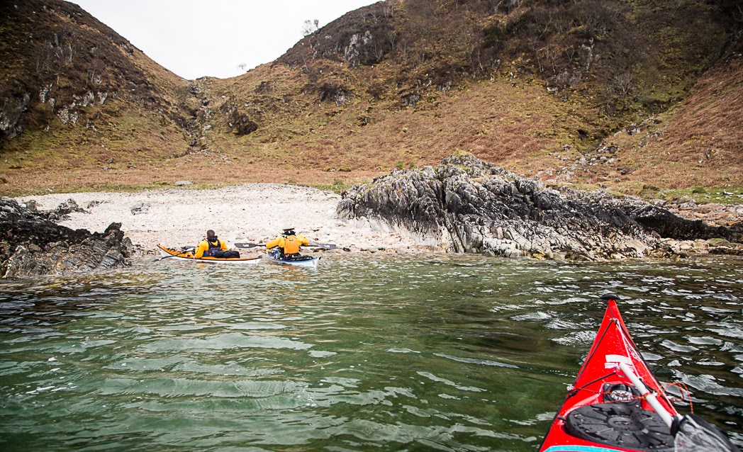
 ...on a rare pebbled beach opposite Little Ross for a short break. Due to the cliffs and reefs we would not be stopping again until we reached Castle Haven Bay some 20km from Kirkcudbright.

Because the north wind was with the ebb tide, the water in The Sound was flat as a pancake. This was a bit of a pity because...

...normally the ebb runs against the prevailing SW wind which stirs things up rather nicely like on this occasion...

...with Tony a couple of years before.

As it was, there was only the slightest riffle on the water as we cleared Fox Craig and left the sheltered waters of Kirkcudbright Bay for the open waters off the Solway coast.

Saturday, November 14, 2015

No ghosts on Little Ross Island, despite its tragic past.

By the time we set up camp on Little Ross Island, the sun was already setting across the broad expanse of Wigton Bay.

 We walked up to the lighthouse  as the last rays of the sun reflected on...

 ...the windows of the lighthouse keepers' cottages. It was behind...

 ...this window that the dark events of Little Ross Island's past were played out in 1960. The lighthouse keeper was shot in the head by the assistant lighthouse keeper who was later arrested in Yorkshire. He was found guilty at his trial in Kirkcudbright. There is a moving account of the tragedy by local man David Collin who found the body with his father.

As we pondered the past tragedy at Little Ross lighthouse the day slipped away and

...as we walked back down to our camp in the gathering darkness it was hard to believe that such a sad event had taken place in this beautiful spot. Several sea kayaking friends refuse to camp here. You might wonder if we were concerned about camping in such a place but there was no sense of malevolence, only a feeling of peace. We could think of no reason why any spirit of a murdered lighthouse keeper could hold any ill will towards mariners like ourselves.

 As the last embers of the day faded behind a pile of old lobster creels, we gathered what scant driftwood was to be found. We would need a fire as a chilling F4/5 northerly wind got up as...

...night fell. Fortunately we had brought a good supply of logs in dry bags on our rear decks and soon enjoyed the warmth of a blazing fire, (Carrying the logs meant we had left our trolleys behind. This omission would warm us further the following evening...) We spent several hours enjoying great chat while we ate baked sweet potatoes washed down by an isotonic drink (which is good for you) and is made by an Irish company.

I was woken in the middle of the night. The flood tide in the Sound was running against the north wind and it sounded as if the waves of the tide race were lapping the tent. Although we had carried them well up the beach, I was worried about the boats so I got up and used my tow line to tie them together and secure them to a rock. Suddenly a dreadful noise, like a pair of cats being strangled, reverberated round the island. The hairs on the back of my neck stood up but it was no ghost, just a pair of squabbling herons.

Read more  about the sunset at Little Ross Island on Ian's blog here.

Wednesday, October 28, 2015

The Old Man of the Mull of Logan.

At the Mull of Logan there are a number of hidden inlets which lead to the great rock arch called the Devil's Bridge. Phil, Tony and I had been before but as Maurice had not been before (and we had said nothing to him) he amazed when he found it.

 Those entering the recesses and passing under bthe arch do so under the baleful stone gaze of the Old Man of the Mull of Logan.

 We dallied for some time in this wonderful spot but the tide was still rushing north and we were now going to head south to Port Logan...

 ...against the tide.  There was no eddy on the SE side of the Mull but close in the tide was only running at 4km/hr compared with 9km/hr just a few meters out.

 Soon we were in quiter waters and the coast here has a maze of gullies many of them interconnecting. This arch is called Little Bridge.

 Further along we came to this old cabin before we arrived...

 ...in Port Logan Bay which is backed by the fertile fields of the Rhins of Galloway.

Our final obstacle was clearing the lines of the many fishermen who lined the old pier. Port Logan was originally called Port Nessock and in the 1
7th century attempts were made by the McDouall family to establish it as a ferry port for Ireland. They also built the Port Logan Inn which is sadly closed at the moment.

The quay and Port Logan Light were built in 1830 by Colonel Andrew McDouall. The light is a conical stone tower with a platform for a lantern. It is not known when it was last lit but for sometime after that it had a bell, which was rung to guide local boats back in foggy conditions. A decent road to the village was not constructed until the early 20th century, so most of the village's trade and traffic depended upon the sea. A life boat station was built at Port Logan in 1866. It closed in 1932 as the RNLI lifeboat at Portpatrick, 18km to the north west, was motorised by then. The boat house is now the village hall which you can find near the quay.

Our 24km trip from the East Tarbet round the Mull of Galloway, Crammag Head and the Mull of Logan is one of the finest paddles in Scotland. However, due to the tides it can be very serious if there is any wind.

Tuesday, October 27, 2015

Catching the tide from Crammag Head to the Mull of Logan.

This is a return to where I left off our Mull of Galloway trip.

After rounding Crammag Head a little breeze got up and we fairly sped up the North Channel with both tide and wind assistance.

Portencorkie is really the only beach north of West Tarbet and funnily enough each has a huge gas tank. These were washed of a cargo ship in a storm. The beach does trap any detruis and I have only stopped here once so...

 ...we pressed on round...

 ...Laggantullach Head and...

 ...past Clanyard and Port Logan Bays. We stayed out in the tide and made rapid progress towards...

 ...the Mull of Logan, our second Mull in one day.

The flood tide was running like a river at 9km/hr, fortunately the light wind was with the tide otherwise it might not have been as calm as this.

We broke out into a calm eddy behind the Mull. Tony Phil and I knew what to expect. Maurice was in for a surprise...