The tide times in the Cuan Sound and the Grey Dogs (also the Corryvreckan) are influenced by low pressure Atlantic systems and can be difficult to predict within an hour's accuracy. However, in a high pressure system they are much more predictable, though times vary between springs and neaps.
The north and west going flood begins +0430 HW Oban (-0100 HW Dover) at 7 to 8 knots at springs and +0515 HW Oban (-0015 HW Dover) at neaps.
The south and east going ebb begins -0145 HW Oban (+0515 HW Dover) up to 8 knots at springs and -0100 HW Oban (+0600 HW Dover) at neaps.
The time changes by 6.5 minutes each day between springs and neaps. The constant between HW Dover and HW Oban does vary, so most accurate times are calculated by using HW Oban times (though not if you have calculated HW Oban indirectly from HW Dover!!).
On the day, HW Oban was at 0749 and 2011 and it was 1 day after springs so the time had drifted 6.5 minutes from the spring time. So the north and west going flood started about 0749 + 0436 = 1225 and the south and east going ebb started at 0749 - 0139 = 0610. We were on the water by 0955.
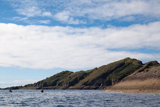
The Grey Dogs were salivating, while awaiting our arrival.
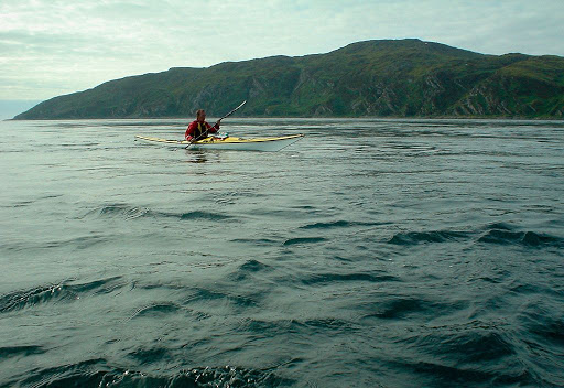
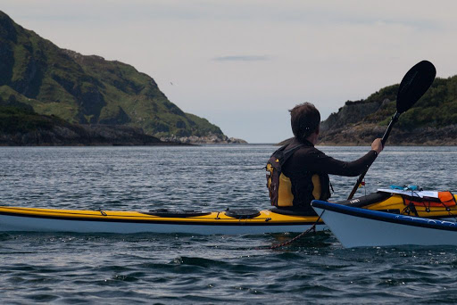
Ferry gliding in the Grey Dogs.
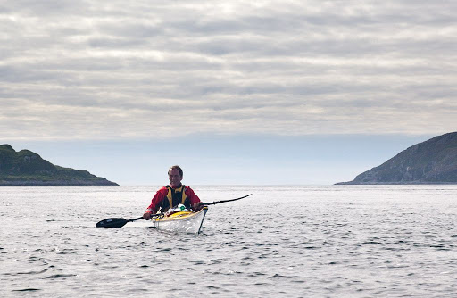
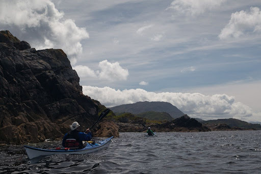
A sting in the tail of the Sound of Shuna.
Toberonochy, what's the story?
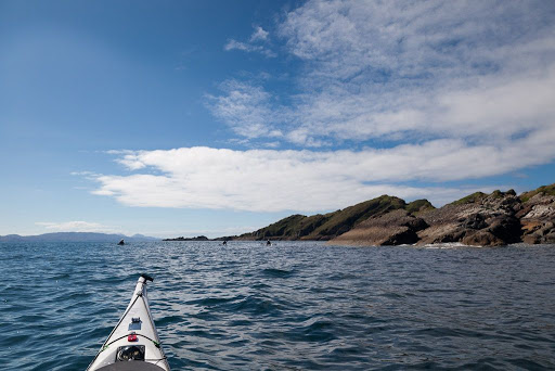
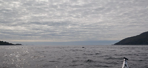
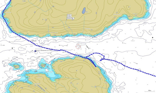
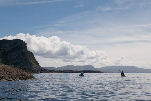
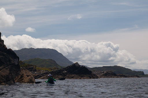
The stirring sound of moving water in the Cuan Sound.
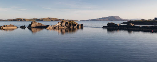
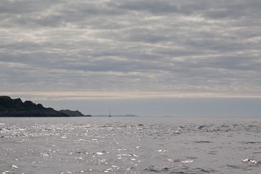
Darkness stole across the Isles of the Sea.