The February sun was still low in the sky as Ian, Mike and myself left a car at
Ardtoe Bay at the east end of the Ardnamurchan Peninsula. You can follow
Ian's account of the trip over on his excellent blog here.
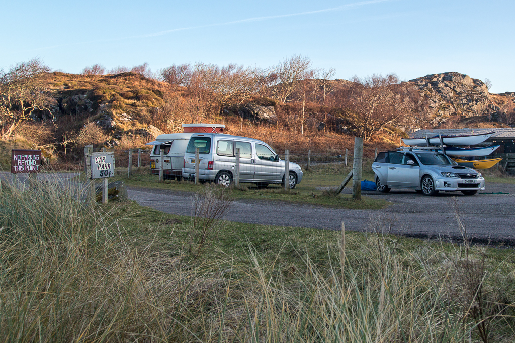
The local crofter has fenced off one of his fields as a car park and there is an honesty box for the very reasonable 50p charge.
We then drove to
Portuairk at the west end of the Ardnamurchan Peninsula which is the most westerly point on the mainland of Britain. . The shuttle from Glenuig to Ardtoe and on to Portuairk is only 45 minutes but it took 2 hours to set up due to the twisting single track roads.
I arrived at Portuairk with mixed emotions. I was
last here on 15/6/2009, after we landed after the trip to Coll and Tiree during which I had an accident on a sand dune and ruptured the ligaments of my right knee. Also on that trip was our good friend Jim Broadfoot. He had celebrated his 50th birthday on Coll with us but sadly and unexpectedly he died of a heart attack less than a year later.
We were soon in the Portuairk channel (which drains very quickly) and making...
...our way down through the rocks of the enclosed channel.
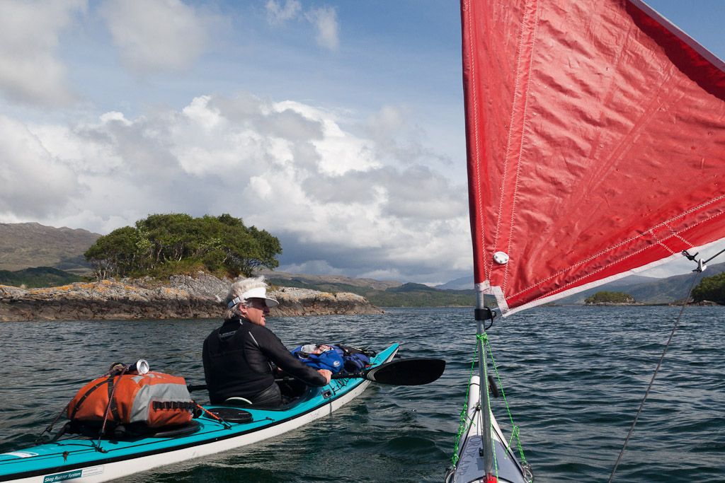
Mike launched his sail and...
...soon we had just a final gap in the rocks to squeeze through before...
...we arrived on the open sea with a backdrop of low lying Muck with the mountains of Rum behind.
Soon Portuairk was slipping astern in our wakes but a gusty F3-4 SE wind got up and had too much east in it for Mike to sail to the east.
The offshore wind was holding the surf up as it broke steeply on the reefs. The spray was blowing over the backs of the waves. We realised there was not going to be much chance of landing further on...
...in this trip so we sneaked through a gap in the skerries into the sheltered water inshore and
...landed on
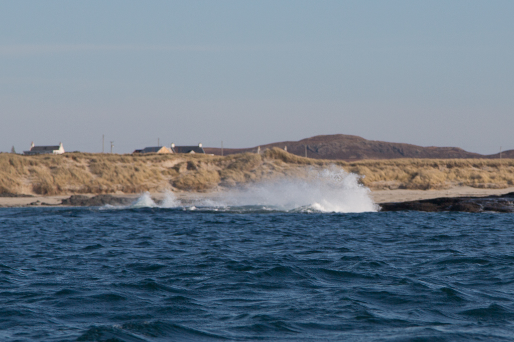
Sanna Bay.
It was a truly glorious day...
...and we stretched our legs for the last time in preparation for the long paddle to come.
Ian produced a dram of golden steadying liquid (Jura Superstition) and we toasted the voyage yet to come and great memories of our friend Jim.