Thursday, October 02, 2014

A mid summer evening at Kildonan.

It had been a long day since we left Saddel Bay on the Kintyre peninsula. After three luncheons and three swims we finally arrived at Kildonan in the Sound of Pladda on Arran's south coast. It was rather hot and I went for a further swim while Tony went off for a cold shower under a nearby waterfall.

The time was now 1730 and the 1615 Larne to Troon (arr 1830) High Speed Catamaran HSC Express was just passing the direct line between Kildonan and Ailsa Craig. This was useful navigational information as the following day the ferry would cross this line twice during our planned 22km crossing to Ailsa Craig. Very approximately, the ferry crosses the line when an hour from Troon, or an hour and fifteen minutes from Larne. As she ways almost 6,000 gross tons and travels at 40 knots she presents a formidable challenge to sea kayak navigation on this crossing.

 After our swim and shower we dragged the kayaks up the beach and set up...

 ...camp on an excellent verdant sward above the beach and a clump of pink thrift.

After setting up camp Tony and I made our way along the coast to the Kildonan Hotel where we fortified ourselves with sports recovery drinks and prawns in garlic butter with crusty bread.

Being midsummer it was stll surprisingly light when we emerged from the pub. I love the view of Pladda and Ailsa Craig from Kildonnan, especially when the tide is running over the bar in the Sound of Pladda. The contrast in shape of the two islands is very dramatic. At night you used to be able to see 3 lighthouses from Kildonan: Pladda, Ailsa Craig and Turnberry. Unfortunately Turnberry light has now been extinguished.

There was not much driftwood bat Kildonan but I supplemented what little we did find with a bag of barbecue charcoal.

We toasted our toes and baked potatoes by the fire until the Pladda light started flashing. It really does not get much better than this.

Tuesday, September 30, 2014

The clear water allowed us to admire the submarine rock architecture.

After we left Cleits Shore we turned east along the south coast of Arran. In the distance we caught first sight of Pladda lighthouse.

 The coastline here is very varied with alternate basalt dykes and shallow sandy bays.

At Torrylinn, the sun cast shadows of our sails on the shallow sandy bottom and the water was so warm that we headed in for another swim before setting off for...

 ...Bennan Head.

Steep cliffs fall to shattered scree slopes which are partially wooded. These slopes are home to rock doves, golden eagles and peregrine falcons.

We got cricks in our necks admiring...

...the rock architecture and the scenery.

Bennan Head is a complex headland with a waterfall (dry when we passed) a cave and a blow hole through  the roof of the cave.

The clear water allowed us to admire the submarine rock architecture.

Monday, September 29, 2014

"Probably the least visited nudist beach in the known universe"

We set off from Brown Head round the SW corner of Arran. All the time Ailsa Craig was growing on the horizon but we did not spend all the time gazing out to sea.

At Corriecravie I thought of all the hard work of my ancestors who were tenant farmers here from at least the early 1700's until the 1930's. The four top fields are still the greenest on Arran!

SE of Corriecravie, the beach consists of basalt dykes...

...rocks below the water and shingle at the HW mark.

As we approached Cleits Shore patches of sand appeared and...

...it looked an ideal spot for third luncheon.

Cleits Shore is one of the few official naturist beaches in Scotland. The book "Bare Britain" describes it thus... "probably the least visited nudist beach in the known universe.". Whatever, it seemed churlish to leave without making full use of the local facilities, as I am sure my ancestors did.

Sunday, September 28, 2014

The clear waters of Brown Head, Arran.

We cut across Drumadoon Bay, which is backed by the village of Blackwaterfoot, and made landfall at...

...Brown Head. The water here was crystal clear but the extensive boulder beach, which lies at the bottom of the headland, extends for 4 kilometres and...

...virtually prevents landing.

However, as it was approaching LW, we found a little strip of sand below the rocks on which to land.

Somehow we had managed to paddle right past this narrow clearing which has been made through the rocks. This was obviously used by our ancestors who wished to launch boats here.

I had spotted an otter as we approached and found this half eaten sea urchin at the edge of the sparkling sea. I went for a swim in the cool clear water then...

 ...dried off in the sun on the grassy machair of a...

...raised beach while Tony went for a walk. The machair was filled with buttercups and would have made a great place to camp but Ailsa Craig (on the horizon) was still some way off and it made sense to carry on round the Arran coast.

Saturday, September 27, 2014

Diverse plans, sills and dykes at Drumadoon.

After leaving King's Cave we paddled sailed south on Arran's remote west coast towards...

 ...the great basalt sill known as The Doon. The flat summit was an extensive Iron Age hill fort.As we passed below basalt columns of The Doon...

 ...towards Drumadoon Point, we caught sight of our destination for the following evening....

 ...Ailsa Craig was still 32km distant.

 There was some tide running round Drumadoon Point but...

 ....to its east the clear green water was calm in Drumadoon Bay where we...

...stopped for first luncheon on a convenient basalt dyke on Blackwaterfoot beach. The dunes above the beach gave some shelter from the rather chilly north wind. There was a little further diversity in the weather forecasts. Some were predicting F2-4 northerly the following day others were predicting F4-5 northerly. We decided to go for Ailsa Craig if it turned out to be the former. At F4-5 northerly the 24 km crossing to Ailsa Craig followed by a 16km crossing to Girvan would be a bit out of our comfort zone so we would head north to Brodick instead. We spent some time texting our plans home and to Phil who hoped to paddle solo out to Ailsa Craig the following day and join us for an overnight camp on the rock.

Thursday, September 25, 2014

Reflections on freedom in the King's Cave Arran.

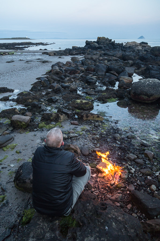
Tony and I found ourselves on a very rough beach below the King's Cave on the west coast of Arran.

 It is a popular place with walkers and many have built stone towers.

There are a whole series of caves and arches here and we followed a subterranean route to the entrance of...

 ,,,the King's Cave. On this occasion the large gate was not locked and we entered ...

...the cool darkness of the cave.

Once our eyes had adjusted to the lack of light we were able to get right to the back of the cave and...

 ...see some Victorian and...

 ...early Christian graffiti. This is one of the caves in which Robert the Bruce was supposed to have been inspired by a spider during his long struggle to win Scottish Independence. Robert the Bruce was of Norman rather than Scottish ancestry. Nowhere in the cave did I see the initials R de B or indeed a spider! I don't suppose the proletariat had much say in the Scottish Wars of Independence in the late 13th and early 14th centuries.except when their blood was spilt.

At least no blood was spilt in the recent referendum on Scottish Independence. After a record turnout of 84.59% at the polls, Scots decided by 2,001,926 to 1,617,989 to remain within the United Kingdom. Members of my family and close friends voted on either side of the referendum. I am pleased to say none of us have fallen out over the result. We realize that we are so very fortunate to live in a mature democracy where people have the freedom to vote for who or what they want and respect each other's decisions. Scotland was not always like this. We used to burn people at the stake if they held different opinions and last century in Europe, Germany fell into the clutches of  the Nazi party and the World suffered. I don't suppose people in areas controlled by Islamic State today have much freedom of expression or anything else for that matter. What a troubled World, is it too much to hope for peace and tolerance?

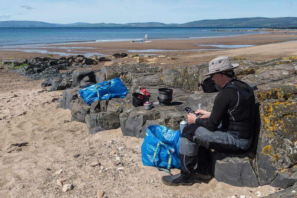
 Tony and I made our way carefully back over the slippery rocks to...

...our waiting kayaks and the blue waters of the Kilbrannan Sound. We were very much enjoying our freedom.

Tuesday, September 23, 2014

Across the Kilbrannan Sound to the King's Cave.

Tony and I set off on a 10 km crossing of the Kilbrannan Sound from Carradale Bay in Kintyre towards the...

 ...west coast of Arran.

We made landfall on a wooded shore which lies...

 ...just to the north of a sandstone cliff. The cliff rises above a raised beach.

 During and after the last Ice Age the sea level was higher and a dramatic...

...series of caves and arches were cut into the relatively soft rock. The largest is called King's Cave and is one of several rival caves in Scotland and Ireland which lay claim to being the one in which Robert the Bruce was inspired by a spider.

We decided to stop and explore. I was particularly glad that Tony hopped out first. My knees are not too good...

...on slippery green stuff like this.