Showing posts with label forts. Show all posts

Tuesday, June 23, 2015

Lowlandman's Bay and the "Light Houses".

 As we paddled NE up the east coast of Jura we came to the narrow entrance of  a deep inlet called...

 ...Lowlandman's Bay. It was clearly way past our first luncheon time so we landed...

 ...at this delightful beach at its southern entrance. The rocky mound on the promontory to the east of the beach was the site of an ancient hill fort or dun and it is still called An Dunan.

We spotted an enticing looking building with a wonderful situation on the north side of the entrance to Lowlandman's Bay.

After luncheon we paddled across for a closer look.

It is not some fancy hotel, it is actually the "Light Houses" which were built for the families of the lighthouse men who manned Skervuile lighthouse in the middle of the Sound of Jura. When first built, there was no road to connect the Light Houses to the other communities on Jura. The only way in was by boat but it was no easy journey. During a storm in November 1881 the light house boat sank at her mooring in Lowlandman's Bay.

Skervuile lighthouse lies only 3.3 km off the coast of Jura but strong tides and winds in the Sound of Jura meant relieving and supplying the keepers was not easy. Skervuile was built by David and Thomas Stevenson, in 1860 but due to a commissioning disagreement was not lit until 5 years later. In 1945 it was automated and the keepers' families left the Light Houses for the last time.

Monday, March 30, 2015

Charcoal and herons in the Burnt Islands.

From Eilean Dubh we paddled across the north end of the Kyles of Bute to the delightful Burnt Islands. The first we came to was Eilean Fraoich (Heather Isle).


The daffodils were out and it was only the 14th of March. There was little sign of any heather however.


 Looking over the Kyles of Bute to the Bute shore we could see the new composting toilet and cooking shelter that has has been provided for those that follow the Argyll Sea Kayak Trail.

The west going tide had already started so we worked our way uptide close to the island before crossing...

 ...the shipping channel which is clearly marked by red and green cans.

 The tide had just started running so was very gentle but it rips through here at 6 knots on a spring tide. Our destination was Eilean Buidhe (Yellow Isle).

 We landed on rocks at the north end of the islands. Although the rock hereabouts is...

 ...very interesting, composed of contorted lichen covered swirls, it was not the purpose of our visit.

Ian and I  braved bramble covered defences to ascend to the south point of the island. Here are the grass covered remains of a vitrified dun (fort). Its circular walls are 4m thick and enclose an inner area nearly 20m in diameter.It was extensively excavated by JH Maxwell in 1936. He found a thick layer of charcoal at the base of the vitrified walls which was presumably the source of the combustion process that fused the stones of the wall together.

From the dun we had a good view over the Kyles to Eilean Mor which is the largest of the Burnt Islands. Some years ago Mike and I camped on Bute just on the far side of Eilean Dubh. We suffered one of the worst midge attacks we have experienced anywhere. Then we were kept awake most of the night by the cacophony from the large heronry which takes residence in the island's trees in the summer.

The dun also affords a good view over Eilean Bhuidhe to the West Kyle beyond. It must have been a great location for a fort.

 Leaving the Burnt Islands we just had a short trip down the East Kyle to Rhubodach, the Bute ferry terminal  where we had left the cars. An easterly wind got up and we launched the sails. I was able to leave the others far behind by using the forward fin on the Aries. However the others caught up as I had to wait for the ferry MV Loch Dunvegan to leave her berth.  I remember using the MV Loch Dunvegan to cross to Skye in the days before the Skye Bridge was opened in 1995. She was built in 1991 at Fergusons Yard in Port Glasgow. After leaving Skye, she was relief vessel on various crossings until she moved to the Kyles of Bute route in 1999.

 We landed just to the east of the ferry slipway, a few metres from the cars.

We had enjoyed a wonderful day in the Kyles of Bute. We may only have covered 18km but on the other hand we had spent some very pleasant time in the Kames Hotel!

Tuesday, January 27, 2015

Kayaks at dawn in the Ballachuillish narrows.

 We spent a very comfortable night in the excellent Ballachuillish Hotel. We planned to launch from the hotel and so started to load the boats in the car park.

 It was minus 12C though elsewhere in the Highlands it had fallen to minus 13.7. Whatever it was a bit nippy on the hands.

Although the loch side was still in darkness the summit of Garbh Bheinn, 885m, was catching the first rays from the rising sun which was still well below our horizon.

We trolleyed the kayaks a short distance to the jetty of  the old BalLachuilish Ferry. The bridge was completed at the end of 1975 but, before that, a vehicle ferry ran across the narrows from 1903. These were flat bottomed turntable ferries and used the slipways in the shallow water at either side of the narrows. One of the last of these ferries was the Glenachulish. She was built in 1969 at the Ailsa yard at Troon on the Firth of Clyde. She served the Ballachulish crossing until the bridge opened, then she was moved to Kessock and then Kylsku to serve as the relief ferry until those crossings were replaced by bridges in 1982 and 1984. After this she moved to Glenelg for the Skye crossing where she still serves today. The Ballachuilish crossing at the peak of a spring tide always provided an entertaining ferry glide.

We planned to go up the north side of the loch to catch what little sun might make its way down to the loch through the steep mountains. The ebb tide was pouring out the narrows at 5.5 knots. Mike decided to take the eddy well up under and beyond the bridge before ferry gliding across the narrows further up.

I decided to just tough it out by ferrying across the fastest flow at the bridge. I had to PLF and was very warm by the time I got to the other side but at least I could rest while I watched Mike...

... come across into a small eddy then watch...

...Ian make his way across.

It really was a struggle against the current...

...we stuck to the shallow water...

...where the current was running slower but...

...it was literally an uphill  battle until we ...

...reached the calmer waters of the broder loch beyond. After a brief rest we

...set off on our exploration of Loch Leven.

Gradually the sun rose above the mountains and...

as we rounded the natural rock walls of An Dunan (site of an Iron Age fort) we...

...entered the natural harbour of Poll an Dunain in full sun.

Saturday, September 27, 2014

Diverse plans, sills and dykes at Drumadoon.

After leaving King's Cave we paddled sailed south on Arran's remote west coast towards...

 ...the great basalt sill known as The Doon. The flat summit was an extensive Iron Age hill fort.As we passed below basalt columns of The Doon...

 ...towards Drumadoon Point, we caught sight of our destination for the following evening....

 ...Ailsa Craig was still 32km distant.

 There was some tide running round Drumadoon Point but...

 ....to its east the clear green water was calm in Drumadoon Bay where we...

...stopped for first luncheon on a convenient basalt dyke on Blackwaterfoot beach. The dunes above the beach gave some shelter from the rather chilly north wind. There was a little further diversity in the weather forecasts. Some were predicting F2-4 northerly the following day others were predicting F4-5 northerly. We decided to go for Ailsa Craig if it turned out to be the former. At F4-5 northerly the 24 km crossing to Ailsa Craig followed by a 16km crossing to Girvan would be a bit out of our comfort zone so we would head north to Brodick instead. We spent some time texting our plans home and to Phil who hoped to paddle solo out to Ailsa Craig the following day and join us for an overnight camp on the rock.

Wednesday, September 10, 2014

Heads down into the wind on the Kilbrannan Sound.

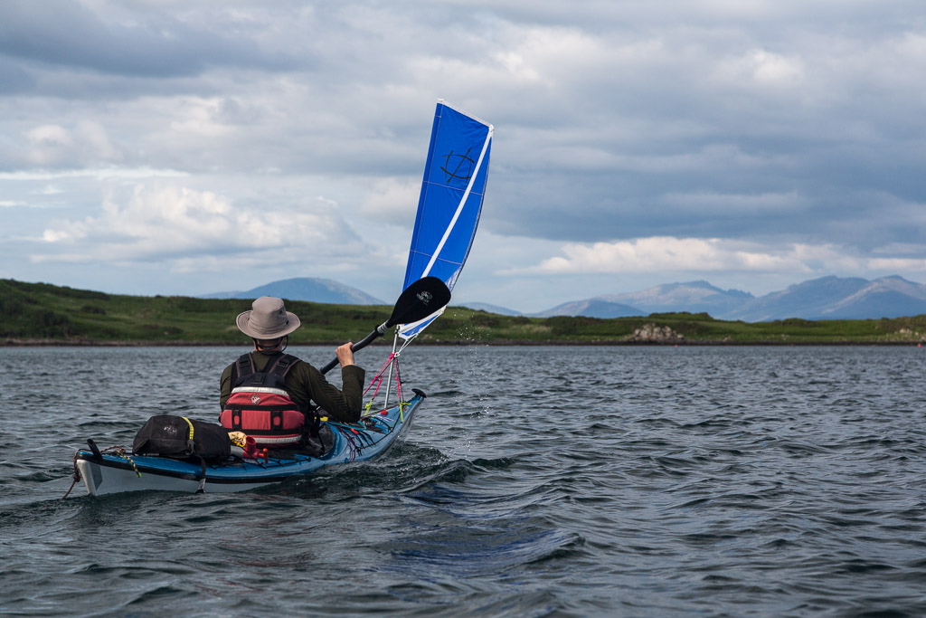
Once Tony and I left Campbeltown Loch and turned our bows north towards the Kilbrannan Sound we found that the wind became increasingly a head wind. We paddle sailed close hauled for some time but...

...it soon came round to hit us right on the nose and we had to drop sails and get our heads down for...


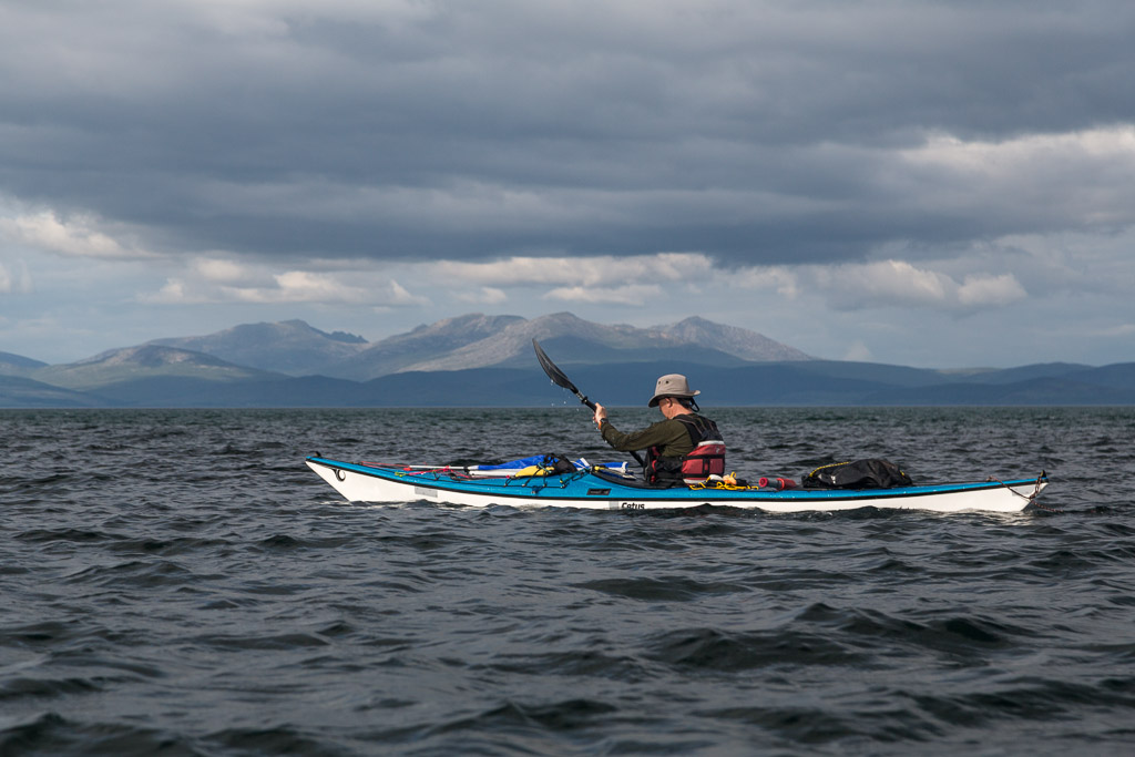
...a stiff paddle into the wind.


At Ballymenach we passed the remains of a WW2 antiaircraft gun emplacement that defended Campbeltown Loch and Machrihanish Air Base.

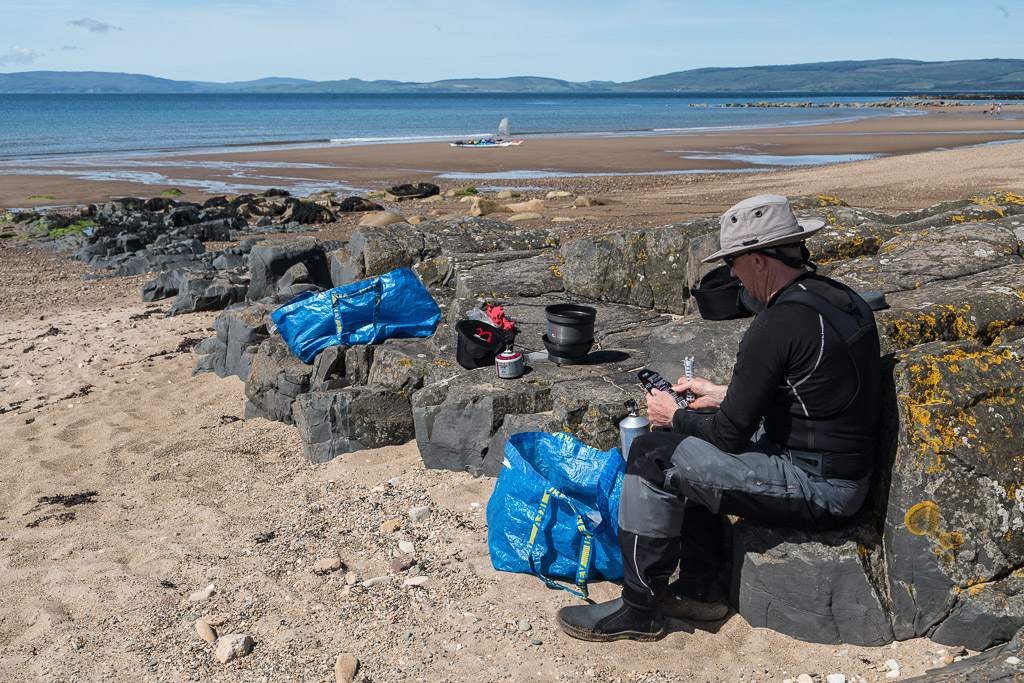
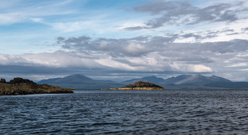
It was a relief to catch our breath on a cobbled shore at Black Bay but rather worryingly, our goal, Ailsa Craig, was becoming more and more distant and was now little more than a slight blip on the horizon.

We gained a little shelter as we approached Kildonand Point and Island Ross. Some potential campsites in this area proved to be inaccessible at low tide so we continued up the Kilbrannan Sound which was becoming narrower as the coast of Arran drew closer.


Rounding the point we found ourselves back in the teeth of the wind. There was still no break in the dark rocks but fortunately we spotted the inviting sweep of the sands at Saddell Bay which was still 5 km away beyond Ugadale Point. It was getting late so there was nothing for it but to get our heads down again and make what progress we could against the wind.