As we left Kilmory Bay several fast fighter aircraft arced round the sky, disappearing round either side of the distant Skye Cuillin. Then this air support aircraft, G-FRAS, a Dassault Falcon-20C, leased from Cobham flew low overhead.
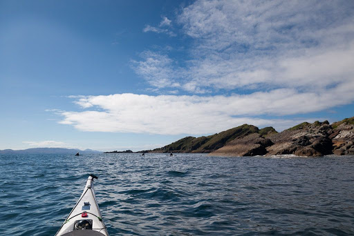
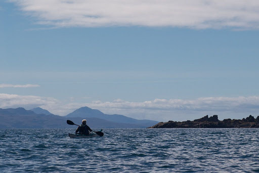
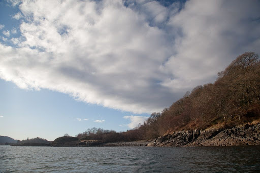
We continued round the coast of Rum but although there was almost no wind the swell was heaving at the base of the cliffs with a near constant roar. We were now paddling SW into the glare of the low sun. Something in the distance caught our eye but we could not quite make out what it was...
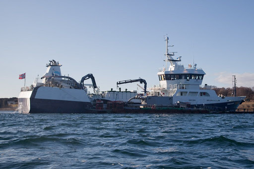
...until we approached the sad wreck of...
...the Jack Abry II, a French trawler that ran on to
the rocks here just before midnight on the
31st January 2011. Fortunately, despite a gale and the surrounding cliffs and mountains, all 14 men on board were airlifted to safety by the Stornoway coastguard helicopter.
Initial attempts to salvage her failed when her engine room and fish holds were holed and flooded. Her fuel oil was removed but there was still a whiff of diesel in the air over two years later. The Marine Accident Investigation Branch report makes interesting reading and like many accidents it was caused by a chain of small events that led to the final grounding.
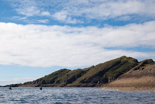
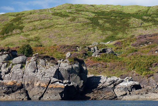
This coastline became more and more dramatic until we turned a corner and...
...Bloodstone Hill reared up above our intended destination of...
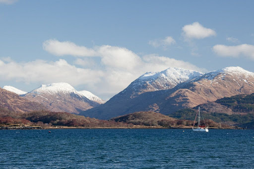
...Glen Guirdil. Green agates are found in this rock. They contain little tiny red flecks of iron, and it is these that give the stone and the mountain its name.
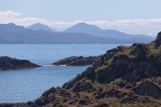
The geology here is very complex, Bloodstone Hill lies at the boundary of granite and Torridonian sandstone. It is also covered with sedimentary conglomerate rocks containing igneous rocks from the eruption which formed the Cuillin of Rum. These sedimentary rocks are then covered with lava flows that are younger than the Rum eruption and which probably came from the later Mull eruption to the south. If you look carefully at the top slopes of Bloodstone Hill, you can see where these lavas have flowed over the top of the hill and started to run down ancient river valleys. The lava solidified before it got to the sea and has left steep escarpments.
Bloodstone is one of the finest rocks for making stone tools. Our ancestors have been visiting Rum to quarry bloodstone for at least 7,500 years; a camp with a heap of hazel nut shells has been carbon dated to that time. Bloodstone arrow heads and axe heads have been found at great distances from the lonely isle of Rum. These people worked and traded bloodstone 3,000 years before the first stone was laid in an Egyptian pyramid.
June 2006
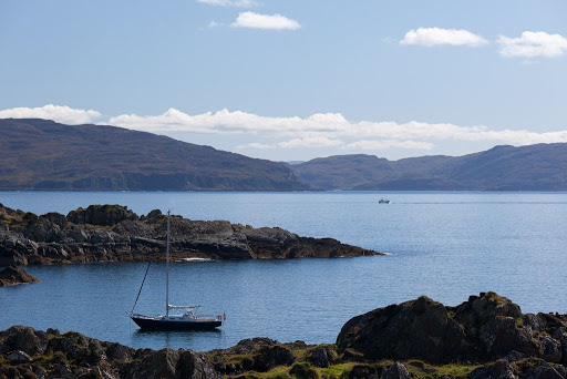
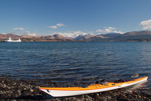
I have twice before landed by sea kayak at Guirdil. Both occasions were in summer but one was very windy. We landed near high tide on banks of uprooted kelp.
June 2006
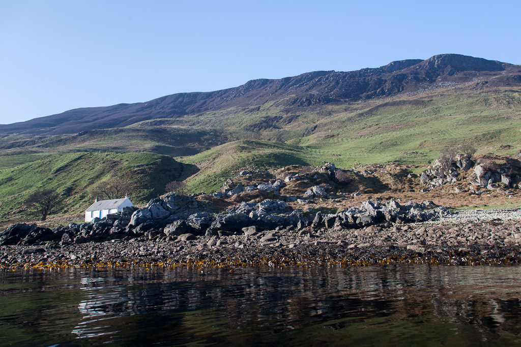
This is
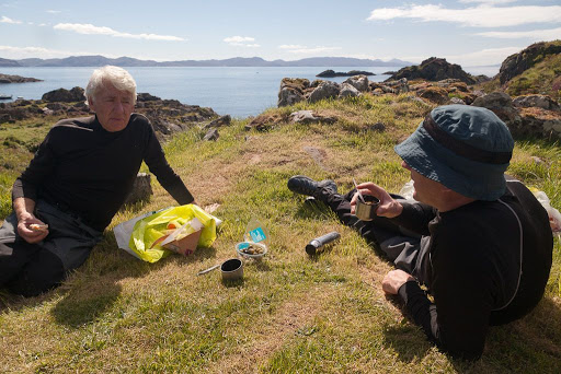
Guirdil bothy where Ian and I planned to stay for two nights.
June 2006
The following day we hoped to circumnavigate Canna from here and return for the second night.
As we approached Guirdil we could see an inviting plume of smoke coming from the bothy chimney. This time it was about half tide and the swell was washing up over a boulder beach interspersed by studs of bed rock. We explored both sides of the beach but it did not look very inviting. We were concerned as the forecast was for the wind and surf height to increase the following day. Then two tall men emerged from the bothy. Both were dressed head to toe in camouflage gear... time for Plan B.
In life you need to create opportunities in which good luck might happen. Both Ian and I have a very flexible view to planning. We had allowed sufficient time to arrive at Guirdil and paddle somewhere else, we had brought tents and I knew of a good camp site on Canna, which we could reach by night fall...