Showing posts with label Oronsay. Show all posts

Friday, December 29, 2017

Why sea kayakers should consider carrying a PLB, unless they are full sibling to an ostrich.

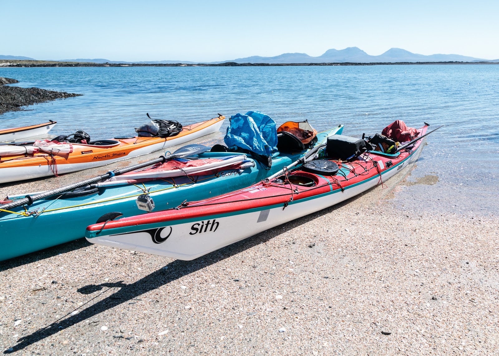
Our journey from Carsaig Bay to Oronsay and Colonsay back in May 2017 continued after a long luncheon break on the sands of Oronsay. The break in blogging has been somewhat longer than that as I have been feeling a bit under par recently. At this, point I should say a very big thank you to Duncan for so generously lending me Sith for this trip. It is just a pity that neither Duncan nor Joan could make this paddling adventure as they had recently returned to Vancouver Island.

We set off anticlockwise round Oronsay with...

...the distant Paps of Jura and the northern entrance of the Sound of Islay on our port side.

We entered a maze of rocky channels at the SW tip of Oronsay We were making slow progress against the incoming tide when a "whoppa whoppa whoppa" from behind announced the arrival of...

...G-MCGG, the coastguard search and rescue (SAR) helicopter from Prestwick, some 120km away to the SE. We heard from Belfast Coastguard VHF transmissions that she was on her way to assist a party of sea kayakers in trouble off the Ross of Mull, some 30km to the north. She tipped over slightly as she passed and we could see the crew looking down at us but presumably we did not look like we were in distress and were too far from their search zone.

This was a Sikorsky S92 helicopter but two months later it was replaced at Prestwick by a Leonardo (formerly AgustaWestland) AW189.  Bristows have operated these SAR helicopters from Prestwick on behalf of the Marine and Coastguard Agency since the previous Royal Navy Sea King SAR  helicopters were retired on 1/1/2016.

Just a few days previous to our sighting, a MCA helicopter from Prestwick had rescued a surfer from the middle of the North Channel between Scotland and Ireland. The surfer had been adrift after setting off surfing from Westport beach on Kintyre. The tide and an offshore wind carried him off without any means of attracting attention.  The search lasted for 32 hours and involved several MCA helicopters from Prestwick, 3 RNLI Lifeboats and 5 shore based coastguard teams. It is quite remarkable that he was discovered. He was found 26km from Kintyre and 21km from Ireland in a search area of nearly 500 square kilometers. 

After the rescue, one of the crew, Andy Pilliner, said: “Looking out at endless water, you just see something that’s slightly different in the water, from where we looked, it looked perhaps like a buoy, but it warranted further investigation so we dropped in height a bit and came in and it was that moment, oh it is actually a surfboard and there’s someone on it waving. It's just a great feeling, it’s just what you’re hoping for."

The rescued surfer said "I cannot thank those enough who rescued and cared for me, they are all heroes."

This remarkable rescue is a very good reason for water users, such as sea kayakers, to carry personal locator beacons (PLBs). By setting one off, if you are ever in a life threatening situation, you can help the rescuers find you quickly. This not only saves the rescue services considerable effort but it also reduces the time their personnel are exposed to danger. I have been carrying a PLB while windsurfing and sea kayaking for the last 12 years. My first PLB cost nearly £600 but the Ocean Signal rescueMe PLB1, which I now carry, is currently only £200. Given the overall cost of sea kayaking gear and transport this is a minor expense. (I burned £40 of fuel getting to our launch point for this trip and I live closest!) So I can't think of any good reason why a responsible sea kayaker would not nowadays consider carrying a PLB unless, perhaps, they are full sibling to an ostrich.

Fortunately we were in no difficulty and C-MCGG flew on and successfully assisted the kayakers in trouble while we landed on Oronsay. As we made our way up the beach at the head of the long inlet of Port na Luinge (long port!), we were following in the footsteps of our ancestors and our own pilgrimage to the Isles had nearly come to an end.

You can read Ian's account here.

Tuesday, June 06, 2017

Landfall in an Oronsay midden.

We set off from Ruantallain on Jura for the distant isles of Oronsay and Colonsay which were just a thin blue line on the western horizon.

 The breeze was from the NE and proved very helpful as the total crossing from our camp on Jura to landfall on the western tip of Oronsay was 19km.]

 Soon the hills of Jura, and away to the north, Scarba slipped astern.

 Even the mighty Paps of Jura diminished as we reached a third of the way across and...

 ...could look straight down the Sound of Islay.

 In mid crossing the wind increased to the top of a F3 gusting F4 and...

 ...we revelled in the wonderful conditions.

Sam does not yet have a sail but he has the benefit of youth and as huge set of Double Dutch paddles.

Even so, at this point the paddle sailors had to back off a bits o that we stuck together.

 Slowly the low isle of Colonsay began to take shape. Forty seven km away to the north it was Ben More on Mull that dominated the horizon at 967m.

The eastern beaches looked inviting but were exposed to a cold NE wind so we paddled in behind the reef of Leac Bhuidhe into...

 ...a sheltered lagoon used by our ancestors. Indeed we landed below one of their rubbish dumps. The giant shell mounds date from the mesolithic age when humans first visited theses islands some 7,500 years ago as the spread north and west as the Ice Age retreated. The mounds are mostly composed of limpet shells but there are also bones of deer, dolphins and great auks.

We made landfall on this pristine beach much as our ancestors had done. Like them we were...

...ready for luncheon!

Friday, May 25, 2012

My (very) small part in The Great British Story.

Tonight, the BBC broadcast the first episode of The Great British Story: a People's History. The first programme, Britannia, dealt with the period following the fall of the Roman Empire. Throughout the Dark Ages, civilisation clung on in the western fringes of Britain as the east coast was invaded by the Anglo Saxons. The programme followed the voyage of St Columba from Ireland to Iona off the west coast of Mull. He brought Christianity into the northern land of the Picts (who had never been part of the Roman Britain having been isolated  by first the Antonine, then the Hadrian walls).

St Columba had founded religious settlements on many of the islands he stopped at on his route north. The programme showed the ancient Celtic Christian carved stone crosses that still stand on the islands of Islay and Oronsay. Standing at the foot of these wonderful crosses, which are worn by the gales of 1,200 winters, is a humbling experience.

The above photo is of one of the crosses of Oronsay. It was shown for all of several seconds. I was quite pleased. It was one of mine!

Sunday, January 30, 2011

Three jewels of Loch Sunart: Oronsay, Loch Teacuis and a buried diamond!

A little breeze soon cleared the mist from Loch Drumbuie as we headed off on the third and final day of our circumnavigation of Morvern.

We left Loch Drumbuie by its west entrance as it was still low water and the shallow eastern entrance was still dry.

We were now on a mini circumnavigation of the tidal island Oronsay which divides Loch Drumbuie from Loch Sunart. There are several Oronsays scattered round Scotland. In Old Norse it means tidal island.

We entered an inlet on the north side of Oronsay. Although Oronsay is now uninhabited, the shells of long abandoned cottages looked down on us from  a high ridge.

Back in Loch Sunart, the ice sculpted rocks of the north coast of Oronsay fall steeply into the sea. A rumble of engines behind....

...warned us of the approach of the cruise ship MV Lord of the Glens. Tobermory had clearly not detained her passengers for long and now they were going to do Loch Sunart including Glen Borrowdale Castle. Borrowdale was a Viking who settled here and built a castle to protect his new lands. The current castle was built in 1902 by Charles Rudd, a diamond mine owner. Reputedly, before he died, he buried  a large diamond somewhere in the grounds !

We had now completed our circumnavigation of Oronsay and entered...

...the narrow channel between Carna and the Morvern mainland. This led us through into a beautiful hidden loch, Loch Teacuis, which bites deep into the Morvern peninsula.

We were delighted to meet members of the Inverness Canoe Club, who were out on a day paddle from the Resipole camp site on the shore of Loch Sunart.

Thursday, November 05, 2009

A raised beach on Loch Tarbert, Jura


We had reached half way to the head of Loch Tarbert in Jura. We were by the first of two tidal narrows which restrict access to the inner recesses of the loch. The water here was not very salty and was stained brown by peat but there was no sign of a river.


We emerged onto the huge raised beach of Camas Nam Meann which is a favourite spot of mine.


The pebbles which make up this beach rise in a huge bank 30m above current sea level.


They then descend to 18m and hold back the fresh but peat stained waters of Lochan Maol an t-Sornàich. The waters of the loch which gradually filter through this huge beach are the source of the peat stained water at the edge of Loch Tarbert,


A few patches of vegetation have managed to take root over the 10,000 years since the tides last reached this level.


From our vantage spot, we could see Oronsay (and its house) and Colonsay on the horizon. It would have been a lovely spot to have enjoyed a leisurely lunch. However, we still had 19km to paddle back to Port Askaig and our ferry was due leave in only a few hours.

Friday, October 30, 2009

Colonsay to Jura by sea kayak


Sadly, it was now time to take our leave of Colonsay. We had our last supper on one of her superlative beaches on the SE coast. The day was getting on, it was now about 2hrs 30minutes to sunset. We had paddled only 21km, since setting off in the morning, and still had a 15km crossing to our destination, at the mouth of West Loch Tarbert on Jura. It looked like we would be setting up camp in the dark again.


At first we paddled on flat water, while we were still in the lee of Colonsay. The hills of Islay and Jura seemed a long way away.


The wind and swell picked up as we left the shelter of the Oronsay reefs and became exposed to the open Atlanic ocean with a force four westerly and swells. I had to put my camera away for most of the crossing.


Fortunately, the wind began to drop, with the setting sun, as we made our final approach to the dramatic coast of Jura. The summits of her Paps were covered with a modesty blanket of cloud.

Wednesday, October 07, 2009

From Oronsay to Colonsay


From the Priory we made our way down to the sweep of sand at the SW corner of Oronsay. Beyond the enclosing arms of the bay, the hills of Jura, Islay and Donegal made up our horizon. Eilean nan Ron lay offshore.


As we emerged from the shelter of the bay...


...the swell picked up as we rounded the skerries of Bacastair.


Then we entered the great tidal lagoon called the Strand, which separates Colonsay from Oronsay only at high tide. It reminded me of the lagoons of Arisaig and like there, was well populated by inquisitive grey seals.


We made first landfall on Colonsay at a delightful little beach.


The Campbeltown registered SS695 FV Keriolet (11.4m) was lifting her pots in the lagoon. She was built in 1994 and originally registered in St Ives in Cornwall but now fishes outof Port Askaig.

Tuesday, October 06, 2009

The stories of contrasting graves on Oronsay


The Prior's House at Oronsay has recently been made weather tight and the ancient grave slabs, which were previously exposed to the elements, have been moved inside. The grave slabs of two warriors lie on the floor but the others are arranged vertically around the walls.


High on the east wall the remains of another cross have been reassembled.


Beneath, stands the grave slab of one of the Priors. The inscription reads:

[HIC] IACET D(OMI)N(U)S DONALLDUS / MACDUFFIE PRIO[R
(CON)VEN/TUALIS DE O[RR]ANSAY QUI / OBIIT AN(N)O MDL-

'Here lies Sir Donald MacDuffie, Conventual Prior of Oransay, who died in the year
155-'

It is known that he died after a long illness in 1554 so it is likely that the slab was carved in expectation of his death but the final digit of the year was never added.


These two memorials stand in the McNeill family mortuary. The inscription on the right hand one reads:

In memory of / Alexander McNeill / Laird of Colonsay and Oransay / Gigha and
Ardlussa / aged 59 / Anne Elizabeth Carstairs / his wife / fourth daughter and coheiress
of / John Carstairs Esqre / of Woodhurst and Warboys, Hunts / aged 47 / and
two of their daughters / Cecil Anne / aged 17 / and / Hester Mary / aged 6 / who all
perished / in the wreck of the "Orion" / at Port-Patrick on her passage / from
Liverpool to Glasgow / 18th June 1850 / and are buried in the / Island of Gigha


The Orion was an 890 ton steam paddle steamer which was wrecked on the rocks at the entrance to Portpatrick harbour on 18/06/1850. She had 38 crew and 212 passengers. Despite sinking in full view of the town and the efforts of local fishermen, 41 lives lost. There was such an outcry following the sinking, as reported here in The Illustrated London News, that henceforth British ships had to carry enough lifeboats for every passenger.


In the graveyard there are several graves to unknown sailors. The inscription of this one reads:

MN / A sailor of the / 1939 - 1945 / war / Merchant Navy / Found 10th July 1946 /
Known unto God

Oronsay and Colonsay by their position to the west of Scotland have been where many sailors lost in the Atlantic have been washed ashore.


Due to the swell, we had been unable to land on Eilean nan Ron, to the SW of Oronsay. I had hoped to find the simple wooden cross on the machair which marks the grave of Edmondo Armando Sottocarnola. It is situated near the old seal hunter's hut which you can see to the right of the wave.


Edmondo was an Italian civilian who was being deported to Canada with other Italian and German civilians in 1940. They were on the Arandora Star when she was sunk on 1/7/1940 by the German U-boat U47. Of about 1736 people aboard, about 867, almost half, were drowned.

The original wooden cross marking Edmondo's resting place decayed long ago but the late Finlay McFadyen of Colonsay made a replacement in October 2002.