Showing posts with label headlands. Show all posts

Thursday, November 12, 2015

Pleasant procrastination during our peregrinations round Slack Heuch Head.

 From the Mull of Ross we crossed Fauldbog Bay as the sun was fast sinking to the west.

 We explored the rocky recesses among the stacks at the...

 ...foot of the Slack Heugh cliffs where we...

 ...found a blow hole which reverberated...

 ...deep within our chests as the compressed air was blown back through the swell.

 We soaked up the atmosphere as we drifted along the coast. The low warm light made the most of the cliff's contorted features and...

 ...yellow lichen covered rocks.

This was a truly beautiful October evening in a...

....stunning location.

As we entered Slack Heugh Bay a flash of...

...wings revealed the presence of a peregrine falcon.

Still we procrastinated and we were not yet round the Kokatat yellow cliffs of Slack Heugh Head. The autumn night was nearly upon us...

Read more procrastinations on Ian's blog here.

Tuesday, November 10, 2015

A couple of Rumblekirns and much friction between Scotland and England.

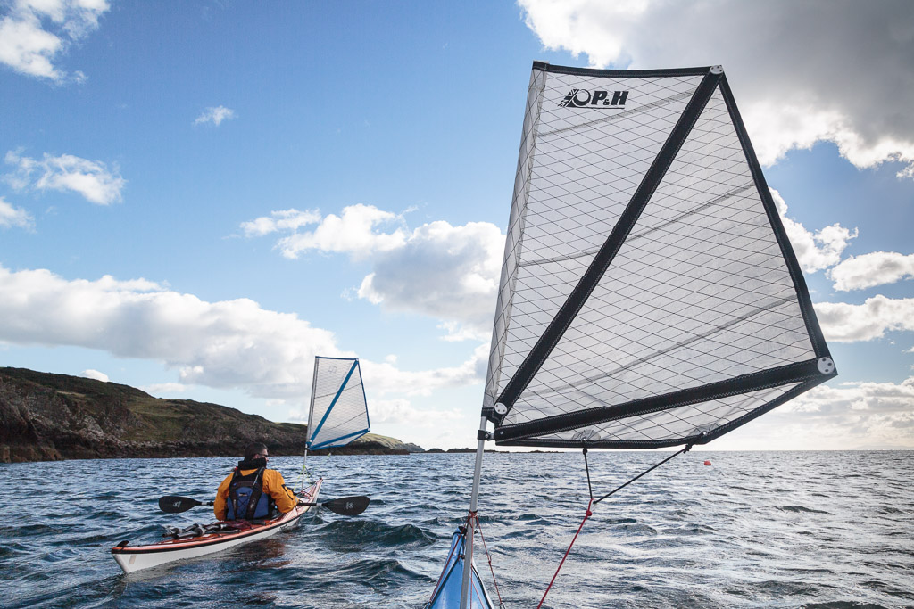
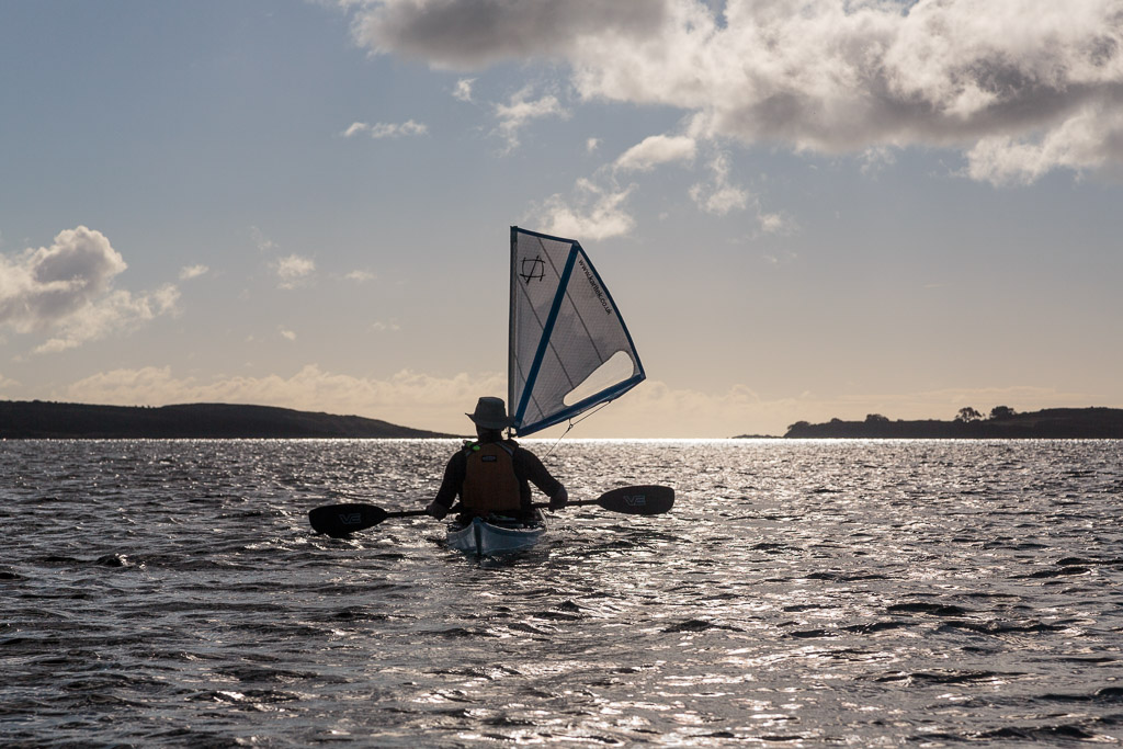
 We left Castle Haven with a fair wind, a...

 ...following tide and the sun sparkling on the shimmering Solway sea.

Passing Kirkandrews we saw the trailers and launch site of the two Campbeltown fishing boats we had seen earlier.

We had left the granite rock of the Galloway hills far behind and were now paddling past layers of Silurian sandstone which had originally been formed at the bottom of the Lapetus Ocean when Scotland was situated near the equator.

As England collided with Scotland the horizontal layers on the ocean floor were folded up and many became vertical such as here at Rumblekirn. A Rumblekirn is a cave with a blowhole at its back.

Below half tide this coast is a maze of reefs with sharp fangs of rock formed by the vertical strata ready to rip the bottom out of any boat. The steamship Ormsa stranded near hear in 1907 but the coast is literally littered with the wrecks of wooden 19th century smacks, sloops and schooners.

Above half tide you can paddle into Duncan's Cave and behind the nearby Little Pinnacle but we had to settle with a...

 ...view from further out.

Dove Cave can be entered only at high tide and these cliffs are indeed home to rock doves. There are also a pair of peregrine falcons here though we did not see them (We would see another peregrine further round the coast).

 Once we rounded Borness Point we left the Isles of Fleet behind and ahead we could see...

 ...the coast of Cumbria in England which was 40 kilometers distant with the hills of the Lake District rising behind.

 We came to a second Rumblekirn and could see through the blowhole at its back.

We paddled into a deep geo behind Rumblekirn and could see where the blow hole exited but could not approach due to the low tide.


The walls of of the geo were impressively vertical as they soared upwards towards the sky. Who would have thought that there had been so much friction between Scotland and England? 


Friday, November 06, 2015

Setting off with a fair wind and tide on the Solway Firth.

The day dawned fair on Fleet Bay in the Solway Firth and as the line of clouds drew back to the SE we enjoyed some warm October sunshine.

Ian, Mike and I soon had our kayaks packed and at the water's edge. It had been our intention to paddle east to Sandyhills stopping at Little Ross Island and Hestan Island on the way. Unfortunately the firing range at Dundrennan was in use so we would not be able to pass. So we intended to do a there and back paddle as far as Kirkcudbright.

 It was a most marvellous start with a fresh tailwind and paddling...

 ...straight into the sun.

 The ebb tide was also with us and it seemed like no time at all until...

 ...we landed on Ardwall Isle for first luncheon.

We decided to climb to the top by way of the farm track which leads up from the beach. The farmer drives over from the mainland at low tide several times a year to cut the grass and bale it.


As we gained height we enjoyed a great view over the recently cut meadow to Murray's Isles Ravenshall Point and to Wigtown on the far side of Wigtown bay.

 There were plenty of brambles but almost no sloes.

From the summit we had a clear view back across Fleet Bay to where we had come from, the cluster of caravans under Ben John.

 The simple cairn at the summit of Ardwall Isle overlooks the grand...

 ...house at Knockbrex with its fields extending down to a little harbour.

Beyond Barlocco reef our way lay away to the SE, beyond distant Ringdoo Point.

For the full kayak stereovision experience follow Ian's blog which starts here.

Wednesday, October 28, 2015

The Old Man of the Mull of Logan.

At the Mull of Logan there are a number of hidden inlets which lead to the great rock arch called the Devil's Bridge. Phil, Tony and I had been before but as Maurice had not been before (and we had said nothing to him) he amazed when he found it.

 Those entering the recesses and passing under bthe arch do so under the baleful stone gaze of the Old Man of the Mull of Logan.

 We dallied for some time in this wonderful spot but the tide was still rushing north and we were now going to head south to Port Logan...

 ...against the tide.  There was no eddy on the SE side of the Mull but close in the tide was only running at 4km/hr compared with 9km/hr just a few meters out.

 Soon we were in quiter waters and the coast here has a maze of gullies many of them interconnecting. This arch is called Little Bridge.

 Further along we came to this old cabin before we arrived...

 ...in Port Logan Bay which is backed by the fertile fields of the Rhins of Galloway.

Our final obstacle was clearing the lines of the many fishermen who lined the old pier. Port Logan was originally called Port Nessock and in the 1
7th century attempts were made by the McDouall family to establish it as a ferry port for Ireland. They also built the Port Logan Inn which is sadly closed at the moment.

The quay and Port Logan Light were built in 1830 by Colonel Andrew McDouall. The light is a conical stone tower with a platform for a lantern. It is not known when it was last lit but for sometime after that it had a bell, which was rung to guide local boats back in foggy conditions. A decent road to the village was not constructed until the early 20th century, so most of the village's trade and traffic depended upon the sea. A life boat station was built at Port Logan in 1866. It closed in 1932 as the RNLI lifeboat at Portpatrick, 18km to the north west, was motorised by then. The boat house is now the village hall which you can find near the quay.

Our 24km trip from the East Tarbet round the Mull of Galloway, Crammag Head and the Mull of Logan is one of the finest paddles in Scotland. However, due to the tides it can be very serious if there is any wind.

Tuesday, October 27, 2015

Catching the tide from Crammag Head to the Mull of Logan.

This is a return to where I left off our Mull of Galloway trip.

After rounding Crammag Head a little breeze got up and we fairly sped up the North Channel with both tide and wind assistance.

Portencorkie is really the only beach north of West Tarbet and funnily enough each has a huge gas tank. These were washed of a cargo ship in a storm. The beach does trap any detruis and I have only stopped here once so...

 ...we pressed on round...

 ...Laggantullach Head and...

 ...past Clanyard and Port Logan Bays. We stayed out in the tide and made rapid progress towards...

 ...the Mull of Logan, our second Mull in one day.

The flood tide was running like a river at 9km/hr, fortunately the light wind was with the tide otherwise it might not have been as calm as this.

We broke out into a calm eddy behind the Mull. Tony Phil and I knew what to expect. Maurice was in for a surprise...