Saturday, October 10, 2015

Lobsters, tides, caves and headlands on the Rhins of Galloway.

 We were not the only ones going round the Mull of Galloway that day...

 ...Tony Patterson and crew in BA852 Valodest were...

 also taking advantage of the calm and slack water to lift their lobster pots.

We decided not to land at West Tarbert as there were "wild" campers in residence. I am surprised there is any grass left there. Everyone makes a fresh fire ring on the grass.

 Instead we proceeded north up the west coast of the Rhins of Galloway ...

 ...along an amazing coastline and soon...

 ...we had left the Mull of Galloway and its lighthouse far behind.

 As we crossed Carrickamickie Bay the tide began to pick up until...

 ...there were standing waves and a slope on the water at a gap off Carrickallan Point.

 Beyond the point we entered a calmer eddy and then came to a series...

 ...of caves, at Carrickahawkie,...

  ...Slocknagower and...

 ......Port Mona.

By now we could see Crammag Head, the next bit of tidal fun but we decided to stop for first luncheon to let the tide build up a bit....

Tuesday, October 06, 2015

The Mull of Galloway, Scotland's most southern coast.

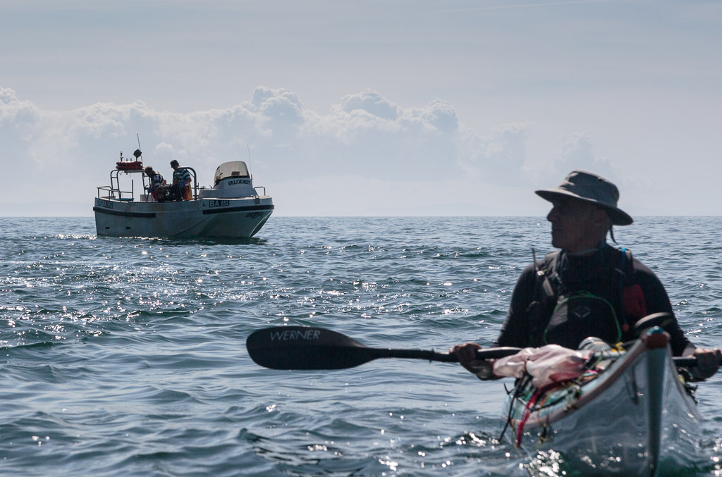
From Lunnock Caave  we paddled towards Carrickcarlin Point which...

 ...lies below the Mull of Galloway lighthouse and its foghorn.

 A characteristic feature of the Mull of Galloway cliffs is the bright yellow lichen. In spring and early summer this is spattered by the white of the sea bird colonies guano.

 Carrickcarlin Point is one of the four most southerly points in Scotland.

 The south coast of the Mull runs east west and from Carrickcarlin Point in the east this is the view...

...to the west showing Lythe Mead, Gallie Craig and just the shoulder of Carrick Kee.

 I paddled out to get a decent view of...

 ...the lighthouse which is hidden from the base of the cliffs.

 Below the foghorn is the entrance to...

...Seals Cave which is big enough to drive...

...several double decker buses in. The depths of the cave were very colourful.

Lythe Mead lies directly below the visitor centre and unsurprisingly they claim this to be the most southerly point in Scotland.

This is the view from Lythe Meade back east to Carrickcarlin Point.

Beyond Lythe Mead there is a deep geo called Foxes Rattle. This is looking out at Lythe Mead and the stack Inchshannoch.

This is the head of the Rattle and...

...this is a cave in its north west wall.

The next headland we came to was Gallie Craig.

Beyond the Craig the tide was already running strongly towards the west.

This is the view from Gallie Craig looking back...

...towards Lythe Mead and Carrick carlin Point.

At the Gallie Heughs we got our last view back to the lighthouse which is hidden from view from...

...the fourth headland at Carrick-Kee. So which of these headlands is the furthest south? Well it is a close run thing but the sea was so calm I was able to touch each headland. These are the northings from my GPS unit:

Carrickcarlin Point   N54 38.026
Lythe Mead              N54 38.013
Gallie Craig              N54 37.999
Carrick-Kee              N54 37.989

So Carrick-Kee just makes it as the most southerly point in Scotland based on latitude. That is further south than the mouth of the River Tees on England's east coast!

Note that the OS grid north is canted with respect to true north and the most southerly point with respect to grid north may be different.

Beyond Carrick-Kee the interest continued with more cliffs...

...and caves.

At Carrickcorrie you will turn NW and see the north shore of West Tarbet Bay. When the west going stream is running along the south coast of the Mull of Galloway you will encounter an adverse SE going eddy at this point. If it is windy from the NW it can be hard work breaking through this.

Wednesday, September 30, 2015

All calm in the Lunnock Cave at the Mull of Galloway.

The 16th dawned to be one of the few sunny, calm days in August. It was ideal for a trip to the Mull of Galloway.

Tony and I dropped a shuttle car at Port Logan on the west coast of the Rhins of Galloway then met Phil and Maurice at the East Tarbet. Inshore, the west going ebb starts at -1:30 HW Dover. HW Dover was at 13:10 so slack water was at 11:40 and we launched bang on time at 11:10.

The NE side of the Mull is a grassy slope and gives very little warning of the dramatic rock architecture beneath the lighthouse just 500m away on the other side of the peninsula.

The waters of Luce Bay to the NE were calm unlike a previous visit when we hit the Mull at maximum tidal flow!

 We rounded the critical point at Lagvag at slack water and entered the Lunnock Cave...

...for a celebratory exploration. If you do get caught out in the Mull of Galloway tide race, the Lunnock Cave would make a marvellous place to wait for calmer conditions as the...
.
...vicious eddylines at its mouth kill the swell.

Sunday, September 27, 2015

Boatbags kayak cover review

During the spring, summer and autumn I leave a GRP kayak on the beach at the Solway Firth. It is normally left higher up the beach than this under an old oak tree for shade. Unfortunately the tree drips sap and green slime not to mention leaves in the later season. The birds that roost in the tree drop bird poo and the sand blows everywhere. Finally the occasional strong sun wrecks UV damage.

The ideal solution is a cover that is light to reflect heat, waterproof and breathable to keep it dry, easy to put on and off and a good fit. I have tried to find such a product for years and two companies that promised to make me one never did. This year I found a solution....

Boatbags make a variety of made to measure bags for kayaks and other watercraft. A quick email confirmed that they could make me a cover rather than a bag and it would be supplied with 4 underhull straps with locking buckles.

I filled in Boatbags' detailed measurement chart for my Aries 155 and for clarity pasted the measurements onto the above photos. I wanted to leave the Flat Earth kayak sail on the kayak and to leave a paddle over the cockpit to prevent water pooling. I placed an order on May13th 2015. For a custom cover in their breathable "fabric D",  I was given a price of £190 (delivered) and a manufacture date of 20th July 2015. It arrived on 22nd July. It has been in constant use since then.

The fit was just perfect. The material is great quality and to me seemed an excellent compromise between weight and robustness. In use it is obviously very breathable so you are unlikely to run into any problems with osmosis if you have a GRP kayak. The workmanship was excellent.

The open bottom cover I requested is exceptionally easy to fit over the kayak sitting on a trolley. Even when the kayak is put away wet, it is usually dry after a short dry spell. The material is easy to clean. A quick hose down soon gets rid of any bird poo or green slime.

You can order the cover as a bag with an open end and carry handles if you want to transport your kayak in a bag. A whole lot of other options are listed on the Boastbags website.

Boatbags make a first class bespoke product which I think represents excellent value for money. I recommend it to anyone who stores a kayak out of doors.

Friday, September 25, 2015

Return to Largs via the Midshipmen's Memorial, Great Cumbrae.

 The wind picked up again as we made our way up...

 ....the west coast of the Great Cumbrae.

At Tomont End at the north end of great Cumbrae we passed under the Midshipmen's Memorial. It's inscription reads:

"IN MEMORY OF MR. CHARLES D. CAYLEY AGED 17 YEARS AND MR. WILLIAM N. JEWELL AGED 19 YEARS MIDSHIPMEN OF H.M.S. SHEARWATER

TWO PROMISING YOUNG OFFICERS DROWNED BY THE UPSETTING OF THEIR BOAT NEAR THIS PLACE 17TH MAY 1844

THIS MONUMENT IS ERECTED IN TOKEN OF THEIR WORTH BY CAPTAIN ROBINSON AND OFFICERS OF THE ABOVE VESSEL"

Leaving Great Cumbrae we enjoyed a favourable wind as we crossed the channel to the AQyrshire mainland. In the distance, at Hunterston, we could see the coal terminal, the nuclear power station and the giant windmills. As is often the case when there is a wind, the windmills here and on the hills above Largs were not turning.

We landed at Largs marina almost exactly 24 hours after we had left. As always it seemed like we had been away several days. An overnight expedition to Inchmarnock is always a treat, especially when you have a tail wind all the way back!