Friday, May 28, 2010

A crusade by sea kayak to the Holy Island


A 20km paddle from Brodick on Arran round Holy Island, March 2010.

The north going flood tide enters Lamlash Bay by the South channel and exits by the North Channel the south going ebb tide runs in the reverse direction.

N going flood +0605 HW Greenock -0500 HW Dover, 1knt springs S channel 0.75knt N channel
S going ebb +0040 HW Greenock +0200 HW Dover, 1.5 knt springs S channel 1 knt N channel

Lamlash tidal constant -0025 Greenock +0050 Dover


Destination Holy Island!


The mountains of Arran

No egos at Portencross!

Seeking shelter in Brodick Bay.

Egalitarian cruising on the Clyde

Little and Large in Lamlash Bay.

Do Holy Island monks think they are above the Law of Scotland?

The west coast of Holy Island, Arran

The Inner (and Outer) Light of Holy Island

Tony hangs up his hat on Holy Island

End of a Crusade to Holy Island


Photo album map

Monday, May 24, 2010

She sailed of into the sunset...


We did not have long to get changed and get the kayaks ready as the Arran ferry arrived at Brodick not long after us. We soon boarded and made our way to the dining room.


After a very pleasant evening meal of Calmac chicken curry and chips it was time to return to the kayak deck, ready for disembarkation at Ardrossan on the Ayrshire coast.


We had just loaded the kayaks on the cars in the time it took the MV Caledonian Isles to reload with another set of cars and passengers on their way to Arran.


Then the MV Caledonian Isles...


...sailed off into the sunset...


...which grew deeper by the minute. Our Arran adventure was over.

Sunday, May 23, 2010

End of a Crusade to Holy Island


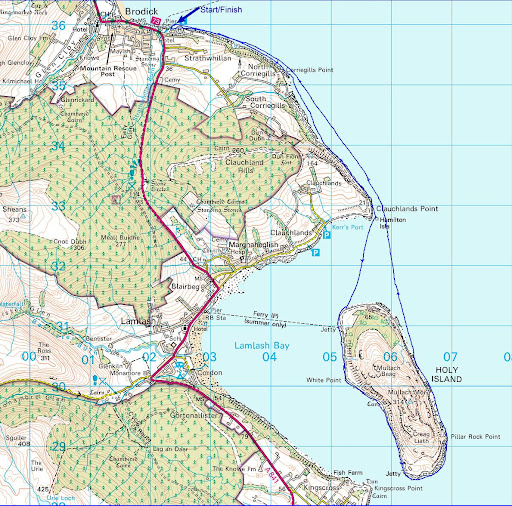
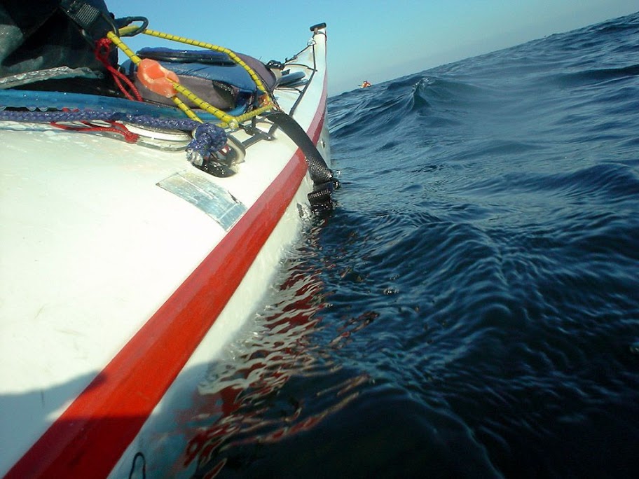
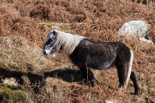
We left the shady beach on the east coast of Holy Island and paddled towards the north and the sunlight slopes beyond.


Crossing the north entrance to 
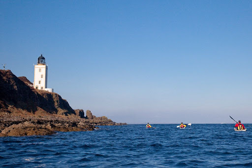
Lamlash Bay we took one last look back at the distinctive outline of Holy Island, the subject of our recent crusade.


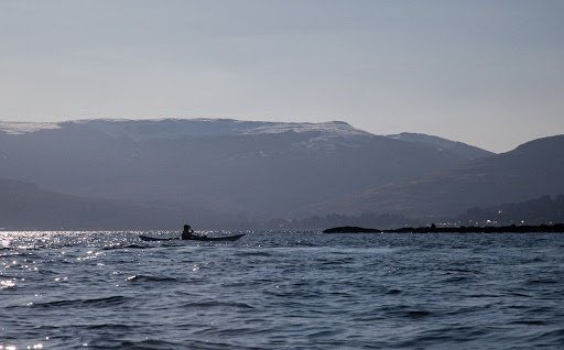
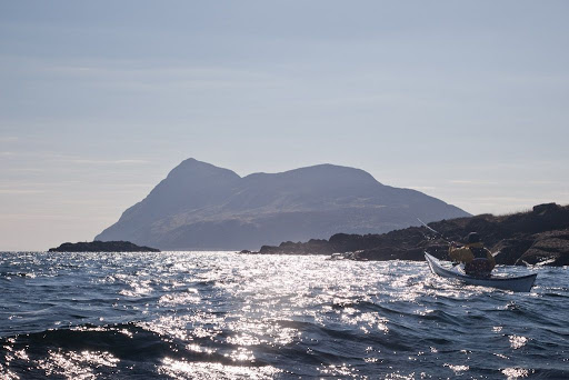
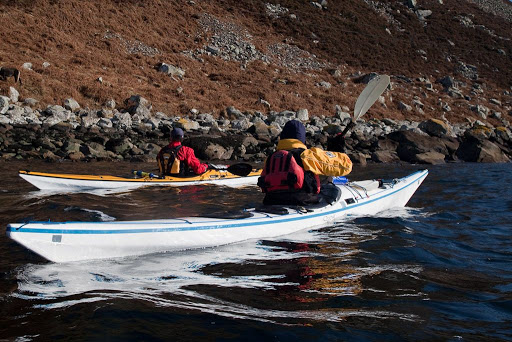
Passing low Hamilton Isle, we made our way to the...


...tumbling slopes of Clauchlands Point round which,


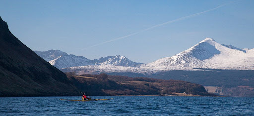
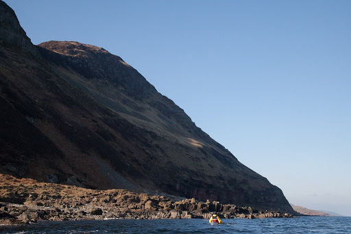
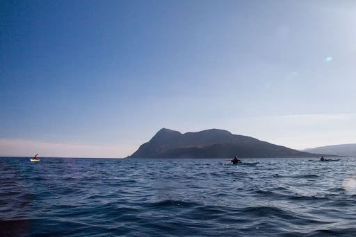
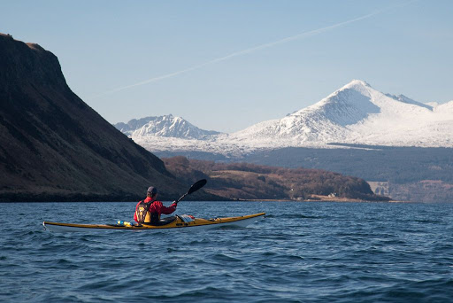
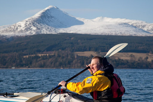
Arran's snow covered peaks came into view one after the other.


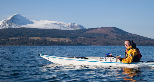
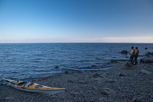
Reluctant for our paddle to come to an end, we loitered in Brodick Bay as long as we could, as our ferry, the MV Caledonian Isles, steadily increased in size on the eastern horizon.


All too soon our time on the water was coming to an end. None of us knew it then, but this would be the last time that Tony and the second last time that Phil and I would paddle with our good friend Jim.

Wednesday, May 19, 2010

Tony hangs up his hat on Holy Island


We left the sunshine as we paddled north up the east side of Holy Island...


...and entered the shade under the steep slopes of Mullach Mor (314m). In the distance the snow covered slopes of Goatfell were still in full sun.


We stopped at a remote, stony beach to stretch our legs and enjoy a quick (it was cold) bite to eat. Tony and Jim looked out over the Firth of Clyde to the barely visible Ayrshire coast beyond.


All round the top of the beach there was the sadly all too common plastic tat of flotsam and jetsam etc. Always with an eye for the camera, Tony modelled a fetching helmet in an attractive shade of sky blue.


The monks had erected this tasteful plastic post, adorned with a goodwill message in four languages. Tony was impressed by its simple message.

Tuesday, May 18, 2010

The Inner (and Outer) Light of Holy Island


At the SW corner of Holy Island we came to the Inner Light. No it is not some higher plane of enlightenment merely a NLB lighthouse.


We then rounded the southernmost point of Holy Island only to discover...


...another lighthouse which is named, with a great deal of logic, the Outer Light. Perhaps, to continue the Harrison analogy, a case of within you, without you.

Why might you ask should Holy Island be blessed by illumination by two lighthouses so close together? Perhaps it is because Lamlash Bay is one of the great natural harbours of the World. Although it is not bordered by any great centre of population, it provided shelter for ships of the Royal Navy in both World Wars and as a relay point for convoys. Somewhat before the construction of the lighthouses, King Hakon IV of Norway gathered his fleet of Viking long boats here before his defeat at the Battle of Largs in 1263.

Monday, May 17, 2010

Cloven hooves on Holy Island


Under an overhanging cliff on the west side of Holy Island, we spotted a cave.


It is the cave of St Molaise who established a Christian retreat here in the seventh century and lived in this cave for ten years. Over the years a number of species have been introduced to the island. These Soay sheep and Saanen goats have taken possession of the cave and St Molaise would not find it a very pleasant place now.


Eriskay ponies are another of the introduced species and one of my friends was warned by a monk that the ponies are savage and aggressive. In fact they are very calm and docile animals.


The steep sides of the island tumble straight into the sea in a boulder field but there is actually a lovely grassy path that winds its way in and out of the rocks above the beach.


The monks have painted colourful images on some of the boulders by the path.