Sunday, March 28, 2010

Google maps, short by an Insh!


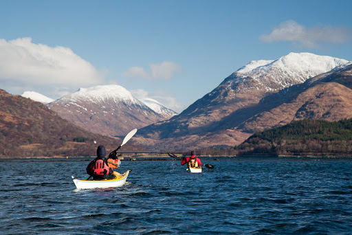
Back in early February, we found ourselves all ready for another adventure. After an early start, we were ready to launch at 0915 from Ellenabeich on the island of Seil in the Firth of Lorn.


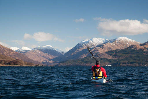
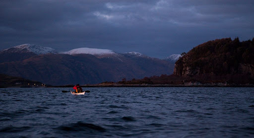
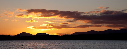
We had in mind a bold route for a short winter's day. It would take us 44km across to the island of Mull into Loch Spelvie, portage into fresh water Loch Uisg then portage into Loch Buie. The final 24km leg would be done without landing and would involve crossing the Firth of Lorn at night with an ebb tide to contend with.


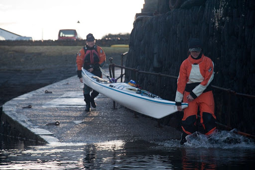
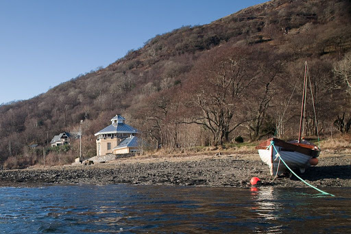
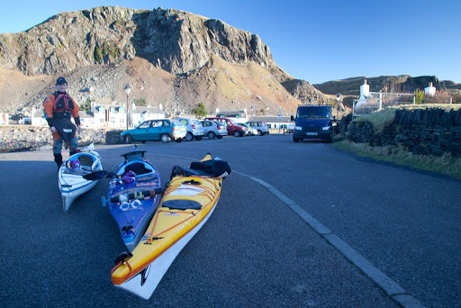
We chose to launch from the Easdale ferry slipway because of my bad knee. Normally we launch down a rocky beach from the large car park to the north of here. You do need to be quick to keep out of the way of the ferry as it only takes a few minutes to cross back and forwards.


We were bound first of all for the north end of the rocky little island of Insh. Sadly neither Insh nor the neighbouring Garvellachs and Slate Islands seem to be important enough to be shown on the otherwise excellent Google maps!!


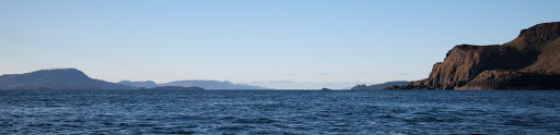
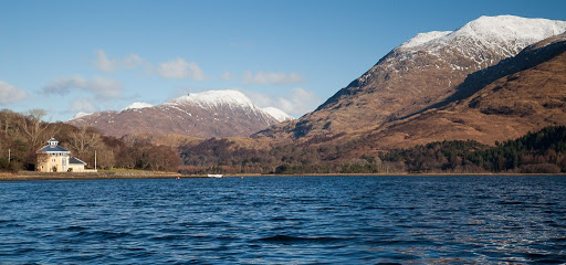
Looking to the south west there was a wonderful prospect down the Sound of Insh. The bold outline of Scarba with the Slate Islands in front, then more distant Jura. Nearer at hand the Garvellachs with distant Islay behind then finally the steep eastern slopes of Insh.


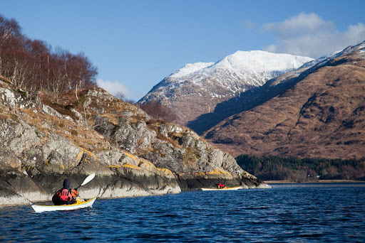
As we approached Insh the ebb tide became stronger and we rested for a while in a kelp bed behind a shallow reef...


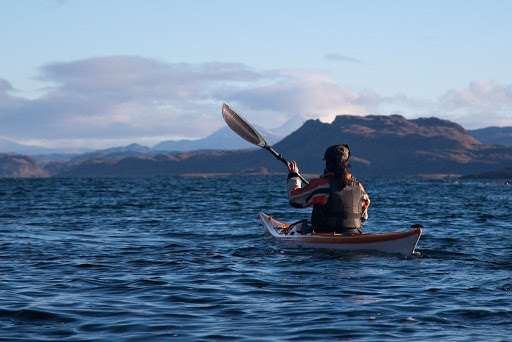
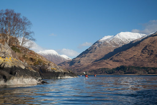
...before a final sprint, under the distant mountains of Argyll...


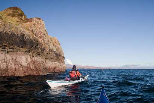
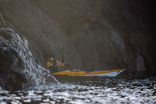
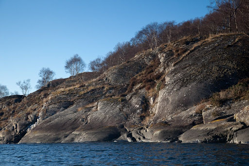
...took us to the rugged red rocks of Insh.

Google Maps really don't know what they are missing!

Saturday, March 27, 2010

Sea kayaking Loch Creran, Firth of Lorn


A 33km paddle from Port Appin to the head of Loch Creran and back, Feruary 2010.

Tidal streams at NE end of Lynn of Lorn run at 2 knots springs
NE going +0600 HW Oban
SW going -0015 HW Oban

Tidal streams at Loch Creran entrance run at 3-4 knots springs
Ingoing +0600 HW Oban
Outgoing -0030 HW Oban

Tidal streams at Creagan narrows run at 5 knots springs
Ingoing -0520 HW oban
Outgoing +0025 HW Oban overfalls extend for 0.8km into the outer loch.


Paddling NE towards Bein Sgulaird.


Sunset over the distant mountains of Mull.

Little and large on the road north to Appin

The hidden entrance to Loch Creran

Loud, discordant, half naked and very hairy Celts in Loch Creran!

A shilling a whole horse, in Loch Creran

On edge in Loch Creran, a satisfying gurgle from the stern.

Bold kayakers out run speeding glacier!

No food at the inn!

End of day in Loch Creran

After sunset in the Lynn of Lorn.


Photo album map.

After sunset in the Lynn of Lorn.


The ebb tide carried us out of Loch Creran and into the Lynn of Lorn.


It was half an hour past sunset and the light was fading fast as the bubbling tide carried us by the pole marking Dearg Sgeir.


The air was so clear that we could see all the way down the Firth of Lorn past the distant mountains of Mull...


...but we now turned our bows to the NE. Only a few scattered lights on Lismore and the snowy summits of Morvern resisted the relentless approach of the darkness of the night.


The snowy summit of Ben Cruachan glowed softly in the night, beyond the wooded slopes of Clach Tholl, a former sea stack.


Ahead, the lights at the pier head at Port Appin told us that we would soon have finished another superb paddle.

Friday, March 26, 2010

Sea kayaking Ayrshire's Atlantic coast from Ballantrae


A 19km paddle from Ballantrae to Portandea and back along Ayrshire's Atlantic coast, Firth of Clyde, February 2010.


Off for the day to Ballantrae

Tony's special cave vision spectacles.

Curarrie Port, any port in a storm.

Fast birds and boats...

A pillow for a tired sea kayaker's head

The Master of Ballantrae


Photo album map.

End of day in Loch Creran


As the sun was now low on the SW horizon we set off again on the return leg of our exploration of Loch Creran.


The sun was setting right in the gap between the hills on either side of Loch Spelvie on Mull.


We floated gently on the golden waters of Loch Creran...


...until the sun disappeared and a chill sun-downer breeze got up. It was time to press on.


The ebb tide was taking us through the entrance narrows at a decent lick when we spotted the navigation lights of the Lady Heather coming in through the narrows. Lady Heather and her sister ship, Lady Fiona, are high speed launches that ferry workers back and forwards to the Glen Sanda quarry on Morvern. They run from Port Appin and also Rubha Garbh on the south shore of Loch Creran. You can just see the quarry lights high on the distant Morvern mountainside.

As soon as we saw the launch, we cut into the channel edge. We had our head torches showing white lights and the Lady Heather spotted us and, very considerately, slowed right down to reduce her wake while passing. She then sped up again to take the Glen Sanda workers back home in time for tea.

Thursday, March 25, 2010

No food at the inn!


We were ravenous by the time we passed through the Creagan Narrows. We decided to turn right towards the Creagan Inn.


We left the kayaks at the water's edge and made our way...


...up to the splendidly situated veranda. It didn't look very busy, so we thought service would be quick.


This navigational aid served to confirm our position.


Sadly we were to go hungry. The opening hours had changed.

Fortunately we had come prepared for any eventuality and we were soon enjoying our third luncheon on the rocks below the pub. As the sun dipped towards the horizon, we toasted our trip with a selection of fine malts.

Despite its ideal situation, we cannot assess the Creagan Inn as a sea kayaking pub. We will just have to return! It's a tough job but someone has to do it.

Wednesday, March 24, 2010

Bold kayakers out run speeding glacier!


We were now deep within the inner basin of Loch Creran. We came to Inver Boat House. This was built in 1907 at the landing point of the steamer which supplied the residents of Glen Creran . The captain had rooms on the first floor of the boathouse.


At first glance, it looks like the boathouse is a modern building but that is because it was extensively restored in 1999. It is now available as an expensive holiday cottage.


We were now paddling in very shallow water. High tide had covered the extensive alluvial fan deposited at the head of the loch by the River Creran.


We slowed to admire the view up Glen Creran, a typical U shaped glaciated valley. It was nice to see remnants of the mixed woodland, which once covered most of Scotland after the retreat of the ice. Our keels finally came to rest on a sand bar, 12.5km from the entrance to the loch from the Lynn of Lorn. It was time to retrace our wakes and return to the sea. We would be taking the route of glacier but even we, would spend less time on the route than the ice!


The Creagan narrows were carved by the glacier and the rocks are still scarred by striations ground by boulders trapped between the ice and the bed rock. The glacier retreated 12,000 years ago but on a site like this, there is so little vegetation that it could have much more recently.


The tide was still flowing in through the narrows but we had no problems paddling against it. On a spring tide with the ebb flowing out through the narrows against the prevailing SW wind, the overfalls extend for nearly a kilometer into the outer loch.

Tuesday, March 23, 2010

On edge in Loch Creran, a satisfying gurgle from the stern.


No sooner had we entered the inner Loch Creran than it was was time for a further luncheon...


...however, as soon as I vacated the P&H Cetus LV, Jim leaped straight aboard.


He threw it from edge to edge...


...revelling in its manoeuvrability.


Jim is over 80kg so the boat is behaving as if it was being paddled by a 60kg kayaker with 20kg of luggage.


Note that with 80kg aboard, the long drawn out inbuilt skeg does not fully disengage from the water when edged (shortening waterline length and further increasing manoeuvrability). Lighter paddlers of the Cetus LV experience greater manoeuvrability, because the skeg disengages. The Cetus LV is really for smaller paddlers, who want a decent fit and handling, rather than for big paddlers, wanting more manoeuvrability.

What P&H have done with the Cetus/LV/MV is to create a series of boats that allow people of different weights to experience the same handling characteristics, as long as they choose the appropriate kayak for their size. You should make sure that when you demo a Cetus/LV/MV, you choose the smallest size that still allows the waterline to shorten as you edge. A satisfying gurgle from the stern during an edged turn should be a clue that you are in the right kayak.


The relationship between body weight and in built skegs is further illustrated by Emily at 58 kg in a Rockpool. When the hull is upright her weight is sufficient to keep the skeg in the water, increasing waterline length and speed.


When edged, she is light enough to allow the skeg to disengage, shortening waterline length and increasing manoeuvrability. My brother who is 17 stone did not find my Alaw Bach very manoeuvrable as he was so heavy the skeg remained in the water.

In testing the Cetus and Cetus LV, I was surprised that the Cetus LV was no more manoeuvrable than the Cetus. At 92 kg, the skeg never released with my wight aboard.

Not all LV versions of a kayak will produce a waterline shape more suited to a light paddler. For example the Quest LV is identical to the Quest on the waterline. So are the Alaw and Alaw Bach (I also think the Isel looks very similar on the waterline to the other two, despite its very low deck line).

The Nordkapp/ Nordkapp LV and the Cetus/LV/MV differ, the LV versions do have a different waterline shape. I do hope that other manufacturers produce versions of their kayaks that have waterline shapes that are appropriate for different weights of paddler.


The head of the loch was calling, we pressed on.

Monday, March 22, 2010

A shilling, a whole horse, in Loch Creran


We set off into Loch Creran before stopping for a luncheon...


...at a rocky headland. A channel had been cleared through the rocks; we were not the first to land at this lovely spot! The low lands surrounding the outer loch...


...contrasted with the mountains, which crowded round Creran's inner recesses.


In the distance, Below Beinn Sgulaird's steep slopes, the loch narrowed at Creagan where the lands of Appin and Benderloch nearly meet.


A ferry ran across these narrows until 1903 when a railway bridge was built to carry the new railway from Oban to the Ballachulish slate quarries. At the end of the 19th century the ferry manifest showed the fares to be: a single horse, sixpence; a whole horse, a shilling; a single person, thruppence. I wonder if that means the fare for a whole person would be sixpence?

The railway bridge was designed by the same team that designed Tower Bridge in London. The railway closed in 1966 and the bridge became a foot bridge. Cars still had to drive round the head of the loch. The railway bridge was replaced in 1999 by...


...this modern road bridge.


We had timed our arrival at the narrows for the end of the in going flood. We arrived at 1350 and the ebb was not due to start until 1508 but it was neap tides and there was almost no flow.

Caolas Creagan tidal streams
in going 5knots -0520 HW Oban (0906)
out going 5knots +0025 HW Oban (1508)


We had now entered Loch Creran's hidden inner sanctum.