Tuesday, February 16, 2010

Embers of a Kerrera day


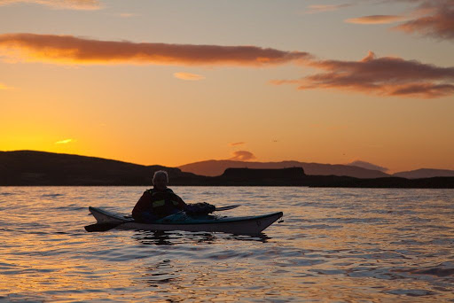
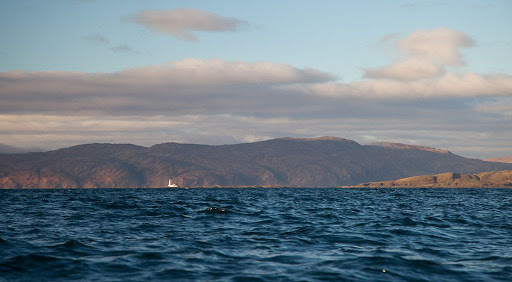
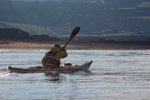
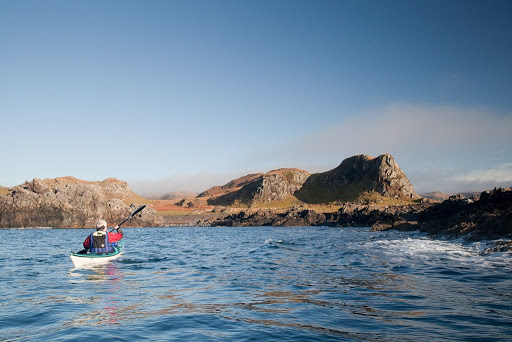
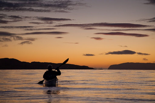
Long after the sun went down, we could still see the open Atlantic horizon between Kerrera and the steep cliffs of Mull.


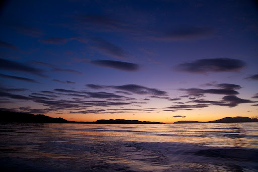
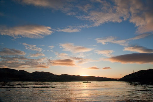
After a while the gold in the sky turned to red and in the distance...


...the monument to David Hutcheson stood out on the Kerrera skyline. In 1835 he was one of the founders of the Burns shipping company, which ran the first steamers up the west coast of Scotland. His brother in law, David MacBrayne continued to develop the routes and the company grew into Caledonian MacBrayne runs most of the the ferries on the Scottish west coast.


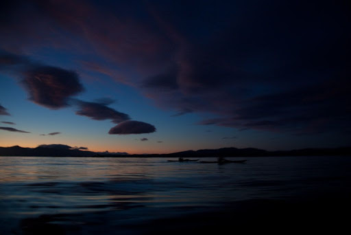
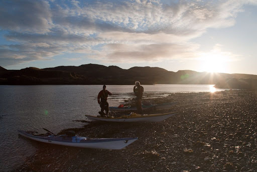
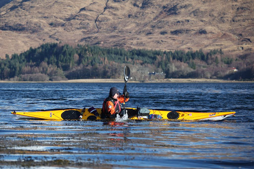
We were enjoying the night so much that we continued on past the car into the gathering darkness to the north east.


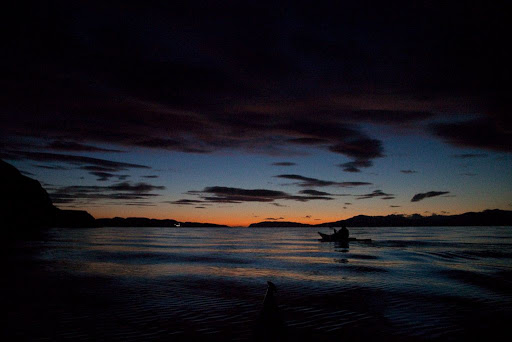
Eventually, as the final embers of the day were dying, we retraced our wakes back to Gallanach. Ahead we could see the lights of the CalMac ferry from Mull slipping into Oban harbour before us.

Monday, February 15, 2010

The liquid canvas of the sea.


As we approached the north of Kerrera the town of Oban came into view on the hillside on the opposite the far side of the island. Snow covered Ben Cruachan, 1126m, towered over the scene.


The sun sank slowly to the SW leaving a horizon of gold and bronze.


Some time after the sun had set the high clouds to the NE took on a wonderful pink light which was reflected by the sea below.


Even the most imaginative artist could not have created such colours as we saw that night, on the liquid canvas of the sea.

Sunday, February 14, 2010

The strange case of the missing calves at sunset.


As we approached Eilean na Gamhna (Island of the Calves) the wind dropped to nothing and the sun began to set.


Calves were totally absent from the isle, in their place was a large flock of Canada geese.


Rather than disturb the geese, we paddled round to the other side of the island. There we compared the merits of three different malt whiskies while pondering the strange case of the missing calves. Are Canada geese carnivorous?


While we were in deep contemplation, Tony Hammock of Seafreedomkayak passed by with Keith one of his clients.


By the time we had left the island of the missing calves...


...the sun had set.

Saturday, February 13, 2010

Blowing the cobwebs away in the Firth of Lorn.


Continuing on our voyage round Kerrera, we made our way from Gylen Castle to this lovely spot for our first luncheon. The fog was still rolling backwards and forwards down the Firth of Lorn but the magnificent mountains of Mull had broken through into a clear blue sky.


Refuelled, we continued on our way under these interesting cliffs that characterise the geology of the south of the island.


We rounded Rubha na Feudain at the SW corner of Kerrera into a bitingly cold F3-4 N wind. All vestiges of fog were now blown asunder. Through the now crystal clear air, we could see that the summit of Ben More (968m) still had snow, though the lower mountains of Mull were now bare.


We paddled up the NW coast of Kerrera but the dramatic coastline of Mull kept drawing our eyes to the other side of the Firth of Lorn.


Another visit to Mull is definitely overdue....


To the north, the Lismore lighthouse at the southern end of Lismore stood out against the dark mountains of Morvern. The wind began to drop and the sun began to set.

Wednesday, February 10, 2010

P&H Cetus LV


The staff at seakayakphoto.com have been busy testing the P&H Cetus LV (seen here behind the Cetus) for issue 20 of Ocean Paddler magazine.


So far we have taken it to the Solway, the South Ayrshire coast and here in Loch Creran.


It takes a long time...


...to test a new boat thoroughly...


...but will spare no effort...


...in order to explore its strengths and weaknesses.


All I can say, after just 3 days and 75km, is that we like the stunningly beautiful Cetus LV a very great deal!

Sunday, February 07, 2010

Gylen castle and the Brooch of Lorn


We found ourselves exploring the landscape of the south coast of Kerrera. The low sun threw...


...long shadows from a succession of weirdly shaped knolls.


On one knoll stood the dramatic ruins of Gylen castle.


The castle was built about 1587 for the chief of the MacDougall clan. It was in a superb defensive position but it also had some fine architectural features as it was also intended to be a fine residence. Unfortunately there was no defensible water supply and in 1647 the castle fell to a siege by General Leslie of the Covenanter army. All those in the castle were slaughtered and the MacDougalls' talisman, the Brooch of Lorn, was stolen.

The brooch had reputedly been taken from Robert the Bruce after he was defeated in revenge by a MacDougall force following his murder of John Comyn who was a nephew of the MacDougall chief. It was returned to the MacDougalls in 1824 by a neighbour, General Duncan Campbell of Lochnell, who was a descendant of the soldier who stole it. Since then it has been seen in public only once, when the Queen visited Oban in 1956.


Sadly the MacDougalls enjoyed living in Gylen for only 90 years. It has been a roofless ruin since the siege of 1647. It was recently restored to preserve some of its fine carved stonework. Most people think of Eilean Donan, on the busy A87 "Road to the Isles" as the best situated Scottish castle. However, the few that have seen Gylen from the sea think otherwise.

Saturday, February 06, 2010

Fleeting wraiths of fog in the Sound of Kerrera


We continued to paddle through swirling fog...


...until we drew level with the Sgeirean Dubha reef. The light shows two white flashes every 12 seconds. The present structure replaced the previous light on 11th January 2002.


Then, magically, the wraiths of fog seemed to melt away and the sun took command of the day.


As we approached the southern point of Kerrera the deciduous tree cover became less...


...and the landscape took on a wilder grandeur. Headland after headland rolled by in the sunshine but at sea the fog still held sway.


Then suddenly, the fog lifted and revealed the scattered necklace of the Isles of Lorn.


We had now arrived at Rubha Seanach and had a clear view to distant Insh Island. What would we find once we had turned west round the point?